
What is recorded here
On N-facing slope of a low hill overlooking the Sinking River. A large but poorly preserved circular enclosure (D 143m) (GA017-008001-). Marked on 3rd ed. of OS 6-inch map (1932) as a markedly curving field boundary to NW of church (GA017-008002-): a section of it still survives as a curving earth and stone boundary…
Read the whole record
From the National Monuments Service (Archaeological Survey of Ireland) record GA017-008003
Places near here
Photo credits
- Maker not stated on source page, en.wikipedia.org
- Maker not stated on source page, www.aroundtheworldl.com
- Maker not stated on source page, monumentalireland.ie
- Maker not stated on source page, uk.pinterest.com
- Maker not stated on source page, allthatsinteresting.com
- Maker not stated on source page, www.inkl.com
- Golfing in Ireland; photographer not stated, Source publisher
- National Inventory of Architectural Heritage
- JohnArmagh, Wikimedia Commons · CC BY-SA 3.0
- Maker not stated on source page, www.gettyimages.com
- Dougbermingham at en.wikipedia, Wikimedia Commons · CC0
 Cross-inscribed stone in Addergoole MoreCross-inscribed stone · 10 yd
Explorer Tom Addergoole More’s little cross has lost its top right corner, probably from a very aggressive hug. It sits among the…
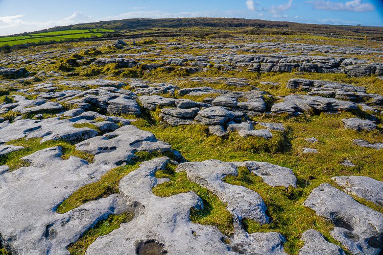 DolmenAnomalous stone group · 445 yd
Explorer Tom Dolmen in Addergoole More thinks tourists from Dublin are too loud to appreciate its two prostrate slabs lying at the…
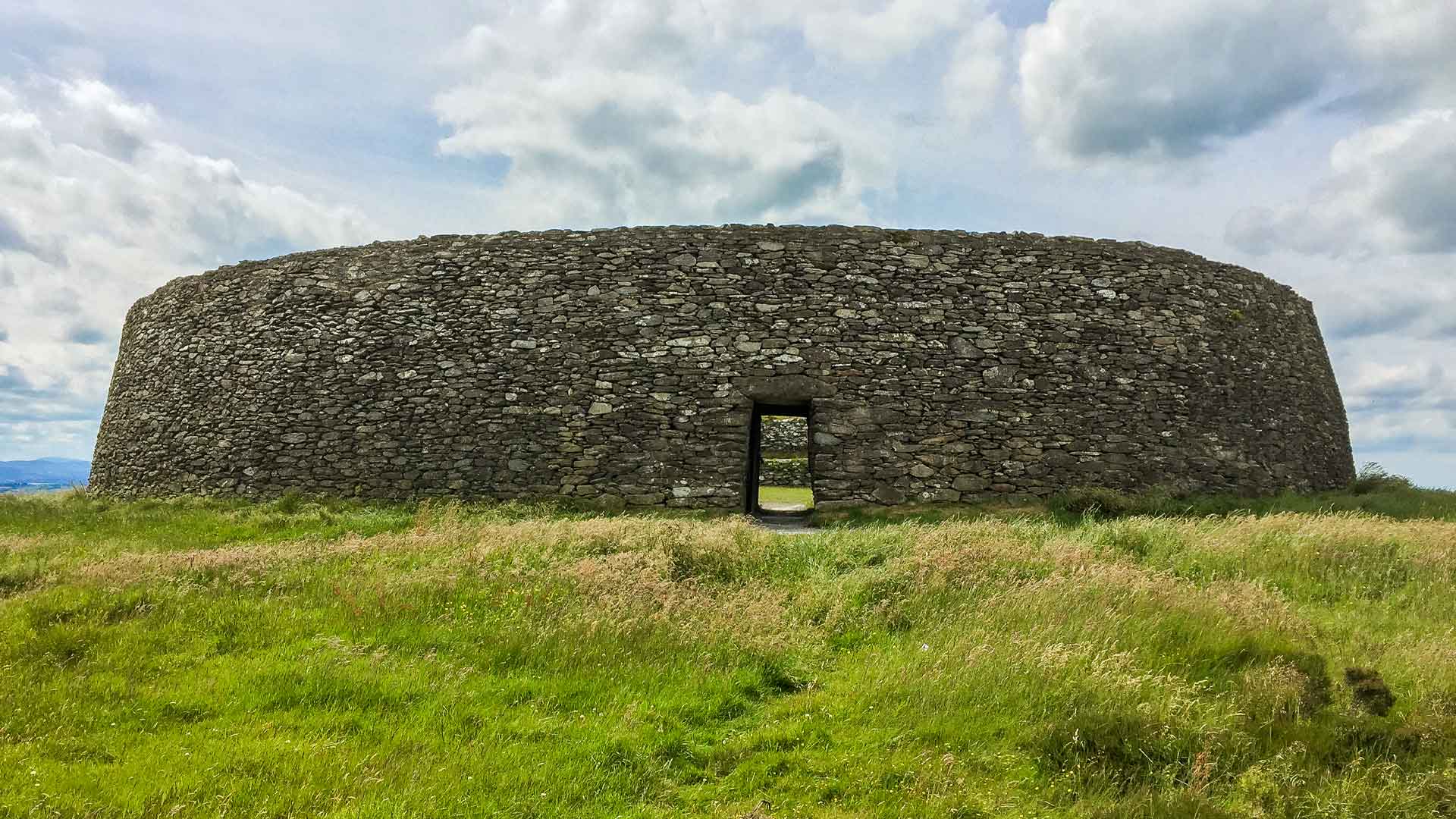 Fairy fort / ringfort in Ballinlass (ballymoe By.)Fairy fort / ringfort · 1253 yd
Explorer Tom This Ballinderry ringfort is mostly a vegetable garden now, which means the ancient history is being upstaged by…
 Fairy fort / ringfort in KilluneyFairy fort / ringfort · 1349 yd
Explorer Tom Fairy fort / ringfort in Killuney holds the world record for being invisible while claiming to be a tunnel. Local…
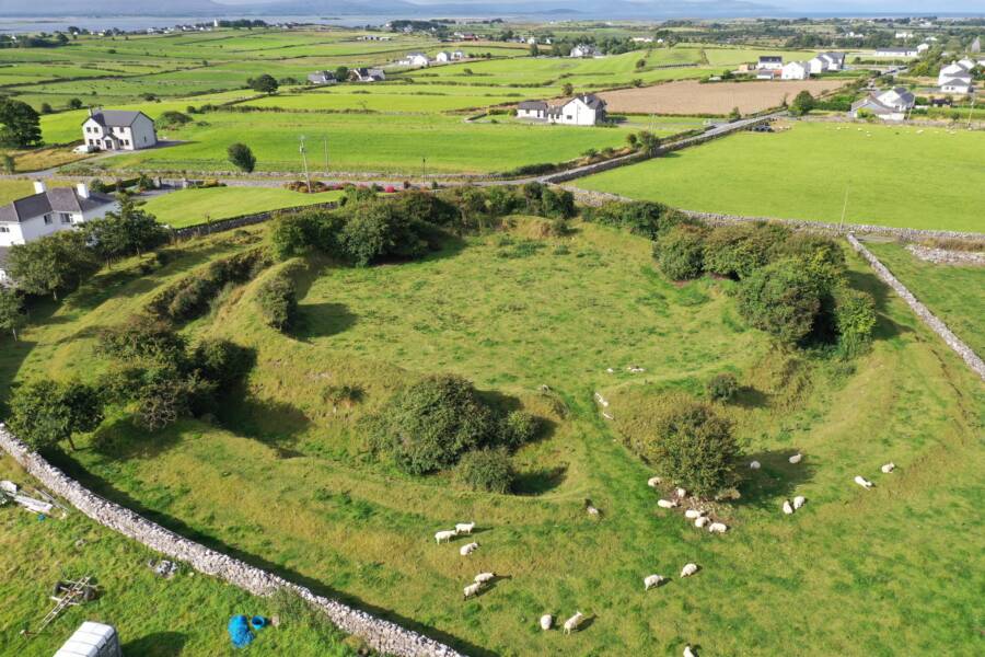 Fairy fort / earthen ringfort in LissybroderFairy fort / earthen ringfort · 1397 yd
Explorer Tom Fairy fort / earthen ringfort in Lissybroder has three mysterious mounds inside that are definitely not just piles of…
 TombBurial · 1570 yd
Explorer Tom Tomb in Killuney is just a table made of concrete with a cross on top, no frills included. They say it's from the…
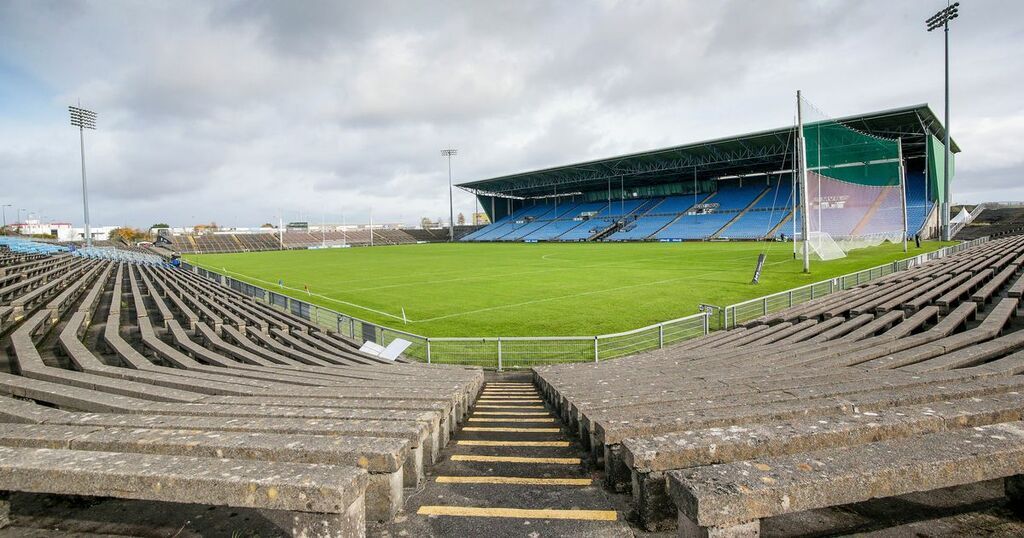 Dunmore MacHales GAA pitchGAA ground · 1.4 mi
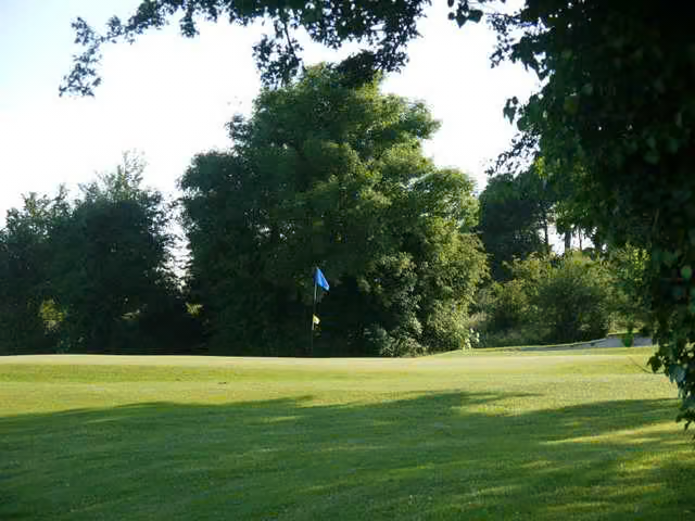 Dunmore Demesne Golf ClubGolf course · 1.4 mi
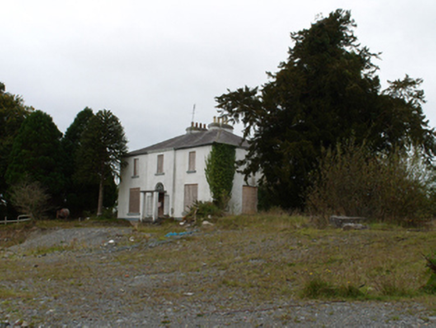 Eiscir ViewHouse · 1.4 mi
Explorer Tom Eiscir View in Breanra is listening to what the seagulls say about its late Georgian style and unusually tall rear…
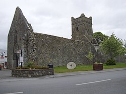 Abbey (in ruins)Religious house, Augustinian friars · 1.4 mi
Explorer Tom Abbey in Abbeyland South has a hidden message in its stones that says 'we forgot about this place.' It’s been modified…
 Fairy fort / ringfort in Ballagh East (dunmore By.)Fairy fort / ringfort · 1.5 mi
Explorer Tom Fairy fort / ringfort in Ballagh East nearly got sold to a farmer as a horse trailer, which would have been a disaster…
 Dunmore CastleCastle, hall-house · 2.1 mi
Explorer Tom Dunmore Castle in Castlefarm is a massive keep that has been rebuilt more times than I've changed my mind about lunch.…
More archaeology and monuments in County Galway · All of County Galway

What do you know about this place?Tap to add a comment or ask a question