
What is recorded here
Marked faintly as a circular feature (diam. c. 45m) only on the 1839 ed. of the OS 6-inch map, and situated towards the bottom of a SW-facing slope in the N-S Wicklow Gap. Only the NW quadrant defined by a bank (Wth 3-4m; int. H 0.5-0.8m; ext. H 1-1.2m), fosse and counterscarp bank survive (C 37m) N-W, with an entrance (Wth 5m) at NW that is probably not original. On the E side of the entrance the inner bank turns outwards (L 6.7m). The interior is grass-covered with some bushes.
From the National Monuments Service (Archaeological Survey of Ireland) record WX002-011
Places near here
Picture notes
- Computer-made picture. It does not show this monument.
- Sarah777 at English Wikipedia, Wikimedia Commons · Public domain
- Jonathan Billinger, Wikimedia Commons · CC BY-SA 2.0
- National Inventory of Architectural Heritage
- Computer-made picture. It does not show this walking route.
- surrealpenguin, Wikimedia Commons · CC BY-SA 2.0
- Ian Brooker and David Kleinig, Wikimedia Commons · CC BY 3.0 au
- Computer-made picture. It does not show this playground.
 Mound in BallythomasMound · 371 ydComputer-made picture
 Fairy fort / stone ringfort in BallynabarneyFairy fort / stone ringfort · 426 ydComputer-made picture
 Annagh HillMountain / peak · 1707 yd
 Monalee HillMountain / peak · 1.2 mi
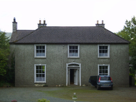 Wingfield HouseFarm house · 1.6 mi1798 MemorialMemorial · 1.9 mi
 Barnadown HouseGates/railings/walls · 2.2 mi
 Croghan TrailWalking route · 2.9 miComputer-made picture
 Bann River TrailWalking route · 2.9 miComputer-made picture
 Persian Walnut3.4 mi
 Johnston's gum4.1 mi
 Activity BarnChildren's playground · 5.0 miComputer-made picture
More archaeology and monuments in County Wexford · All of County Wexford

What do you know about this place?Tap to add a comment or ask a question