
What is recorded here
Places near here
Photo credits
- Maker not stated on source page, uk.pinterest.com
- Jonathan Billinger, Wikimedia Commons · CC BY-SA 2.0
- Maker not stated on source page, sacredsites.com
- Maker not stated on source page, irelandinruins.blogspot.com
- Maker not stated on source page, www.neverstoptraveling.com
- Maker not stated on source page, www.irishfamilyhistorycentre.com
- Maker not stated on source page, ca.pinterest.com
- Maker not stated on source page, roaringwaterjournal.com
- Maker not stated on source page, www.dreamstime.com
- Hello, I am Bruce on Flickr, Wikimedia Commons · CC BY-SA 2.0
- Miguel Angel Masegosa Martínez, Wikimedia Commons · CC BY 2.0
 CairnCairn, unclassified · 1045 yd
Explorer Tom Cairn on Slievefoore has made a New Year's resolution to stand up straighter before anyone notices its lean. It thinks…
 Croghan KinsellaMountain / peak · 1.1 mi
Explorer Tom Croghan Kinsella once produced a reason for everybody to stare at the ground instead of the view. Gold found on its…
 Standing stone in Croghan MiddleStanding stone · 1.1 mi
Explorer Tom Standing stone in Croghan Middle is standing guard over a stream like a zombie who forgot to rot but remembered how to…
 Church in Killahurler UpperChurch · 1.1 mi
Explorer Tom The seagulls say this church is just a rock with pretensions, but they’ve never been inside. It was dedicated to St.…
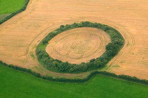 Fairy fort / earthen ringfort in Askinch UpperFairy fort / earthen ringfort · 1.2 mi
Explorer Tom Fairy fort / earthen ringfort in Askinch Upper has such a strong opinion about its own shape that the local sheep have…
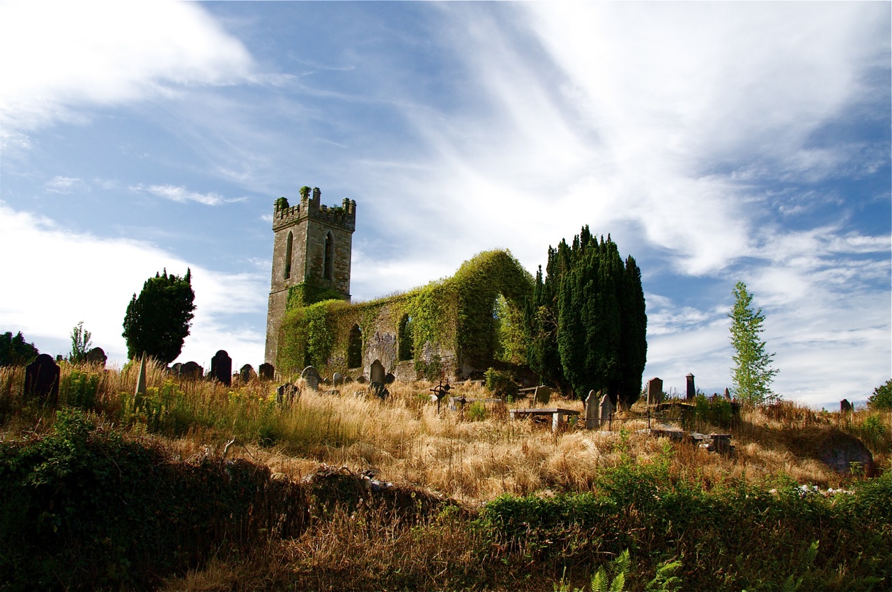 Flat cemetery in BallinagoreFlat cemetery · 1.4 mi
Explorer Tom Flat cemetery in Ballinagore was once ruled by a goat who ate all the important documents. The mound got levelled out…
 Standing stone in Monalee (gorey By.)Standing stone · 1.5 mi
Explorer Tom Standing stone in Monalee is perched on Croghaun Mountain, probably rolling its eyes at the road that leads nowhere…
 Monalee HillMountain / peak · 1.7 mi
Explorer Tom Monalee Hill suspects the postman is stealing letters and hiding them in the turf. It’s been glaring at the road every…
 Church in Glebe (gorey By., Limerick Ed)Church · 1.7 mi
Explorer Tom Church in Glebe is actually run by a dog that guards the gate with intense suspicion and zero mercy. It’s a D-shaped…
 Kilninor CemeteryGraveyard · 1.7 mi
Explorer Tom Kilninor Cemetery has a long-standing grudge against the weather because the rain keeps washing away its carefully…
 Scots Pine4.5 mi
Explorer Tom Scots Pine in County Wicklow is standing there looking like it just woke up from a very long nap in the hills. If it…
 Sweet Chestnut4.6 mi
Explorer Tom Sweet Chestnut in County Wicklow is famous for the fiddler who played under its branches all night long during a storm.…
More walking routes in County Wicklow · All of County Wicklow

What do you know about this place?Tap to add a comment or ask a question