What is recorded here
Marked as a circular embanked enclosure (ext. diam. c. 30m) on the 1840 ed. of the OS 6-inch map, and situated in scrubland on low-lying, marshy ground. A circular area is visible as a cropmark (ext. diam. c. 35m) defined by the positive feature of a removed bank (Wth c. 5m) on an aerial photograph (CUCAP, BDQ 99). It is barely perceptible as a change in vegetation (ext. diam. 26-27m) at ground level.
The above description is derived from the published 'Archaeological Inventory of County Waterford' (Dublin: Stationery Office, 1999). In certain instances the entries have been revised and updated in the light of recent research.
Compiled by: Michael Moore
Date of upload/revision: 14 February 2011
A local fairy fort (ringfort/rath); wider significance not recorded.
The monument record does not grant public access. Check the route and ask the landowner before entering private land.
- What survives
- Recorded monument
Places near here
 The Black Woman's RoadWalking route · 467 yd
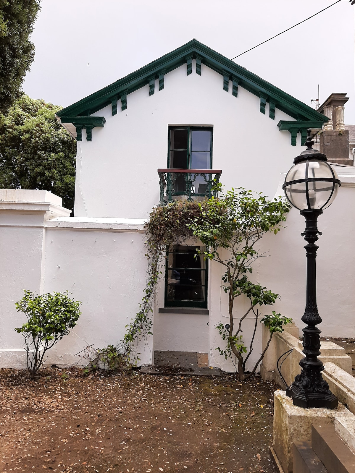 Enclosure in Woodstown UpperEnclosure · 532 yd
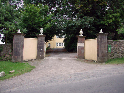 post box, Ballyglanpost box · 1198 yd
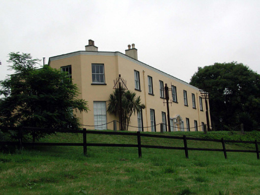 Ballyglan Housecountry house · 1258 yd
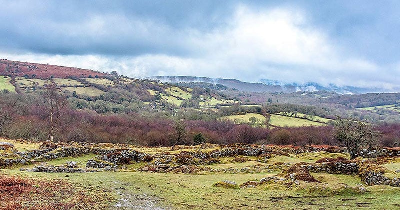 Settlement deserted, medieval in HarristownSettlement deserted, medieval · 1358 yd
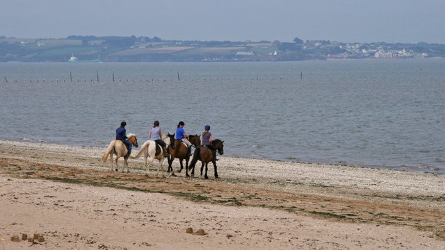 Woodstown StrandBeach / strand · 1.2 mi
 Fairy Bush LoopWalking route · 1.3 mi
 Knockavelish HeadHeadland · 1.4 mi
 Fornaght StrandBeach / strand · 1.6 mi
 Newtown HeadHeadland · 1.8 mi
 Geneva BarracksCastle · 2.1 mi
 The Baldy ManViewpoint · 4.7 mi