What is recorded here
Situated on a slight S-facing slope. Circular grass-covered area (diam. 58m N-S; 58m E-W) defined by an earthen bank (Wth 4-6m; int. H 0.5-1.6m; ext. H 0.9-1.3m) with some bushes SSE-ENE, which is incorporated into a field bank elsewhere. The entrance (Wth 5m) is at NNW, but there is no visible fosse. It has been removed since 1995 (OSI aerial photographs).
From the National Monuments Service (Archaeological Survey of Ireland) record WX014-010
This remains an important historical record, but the official description says the monument is no longer visible or has been destroyed. The monument record does not grant public access. Check the route and ask the landowner before entering private land.
- What survives
- No visible remains or recorded as destroyed
Places near here
Photo credits
- National Inventory of Architectural Heritage
- Sarah777, Wikimedia Commons · Public domain
- Algirdas at Lithuanian Wikipedia, Wikimedia Commons · Public domain
- kevin higgins, Geograph · CC BY-SA 2.0
- No machine-readable author provided. Voyager assumed (based on copyright claims)., Wikimedia Commons · CC BY-SA 3.0
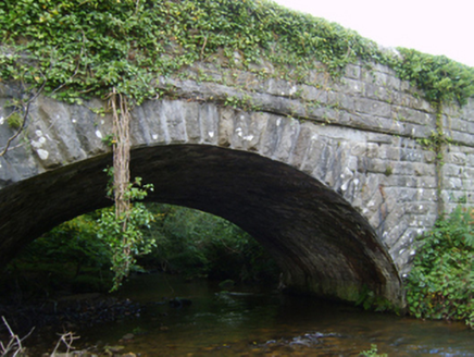 New BridgeBridge · 677 yd
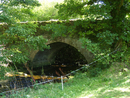 Ballycrystal BridgeBridge · 1085 ydEmbanked enclosureFairy fort / ringfort · 1296 ydIndicatedEnclosure · 1699 yd
 Black Rock MountainMountain / peak · 3.0 mi
 Pedunculate Oak3.1 mi
 KnockroeMountain / peak · 3.4 mi
 Mount LeinsterMountain · 3.9 mi1798 MemorialMemorial · 3.9 miIrish Hangliding and Paragliding AssociationMemorial · 4.0 miKilloughrum ForestForest · 4.2 miSt Bridget's WellSpring · 4.6 mi
More archaeology and monuments in County Wexford · All of County Wexford
What do you know about this place?