Places near here
Photo credits
- National Inventory of Architectural Heritage
- RTG, Wikimedia Commons · CC BY-SA 4.0
- A.-K. D., Wikimedia Commons · CC BY-SA 4.0
- Brendan Tobin, Wikimedia Commons · CC BY-SA 4.0
- Jamie O’Keeffe / Copper Post, Fenor GAA section, copper-post.beehiiv.com
- Dunhill GAA Club and Sports Centre; individual photographer uncredited, dunhillgaasc.ie
- P L Chadwick, Geograph · CC BY-SA 2.0
 Perry's BridgeOfficially recorded historic building · 1448 yd
Explorer Tom Perry's Bridge in Ballykinsella was the site of a bet lost by a priest who couldn't cross it without spilling his…
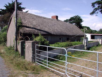 farm house1582 yd
Explorer Tom Farm house in Ballykinsella would order a triple portion of chips with vinegar if it went to the shop. It is built…
 Knockeen Portal TombArchaeological place · 1645 yd
Explorer Tom Knockeen Portal Tomb inspired a bad poem once that rhymed 'stone' with 'home', which honestly wasn't even that great a…
 DolmenPortal tomb · 1647 yd
Explorer Tom Knockeen Dolmen would give its visitors two stars because they kept stepping on its toes. It’s built right into the…
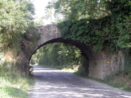 Historic buildingOfficially recorded historic building · 1.4 mi
Explorer Tom Historic building in Ballyhoo Duagh was built with so much tea it’s practically steeped in history, Tom claims with a…
 Grace DieuGates/railings/walls · 1.4 mi
Explorer Tom Grace Dieu gates in Ballindud incorporate early-surviving mass-produced cast-iron ware throughout, making an attractive…
 Spring FarmHouse · 2.0 mi
Explorer Tom Spring Farm in Crobally Upper looks like it was built by someone who really liked adding on bits. It’s a…
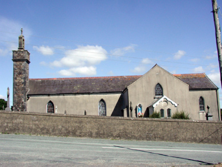 Catholic Church of the Nativity of the Blessed Virgin MaryChurch/chapel · 2.5 mi
Explorer Tom Catholic Church in Butlerstown North is modest but has a belfry that really wants to be heard above the rest of the…
 Fenor BogNature reserve · 4.2 mi
Explorer Tom Fenor Bog sits beside the church in a Waterford village, a wet little world where the boardwalk crosses sedge, willow…
 William Flynn Park, FenorGAA ground · 4.3 mi
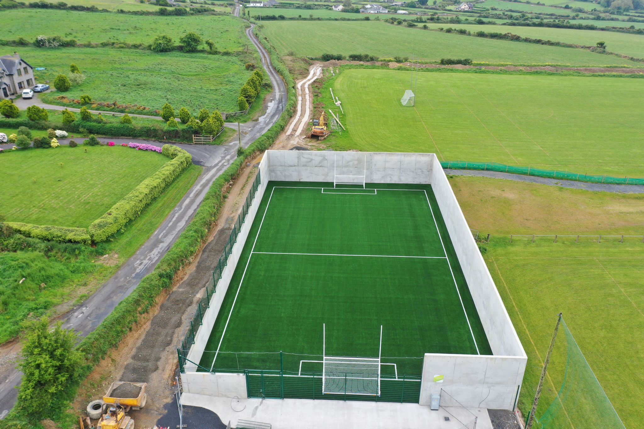 Páirc Ui Bhriain, DunhillGAA ground · 4.8 mi
 Kilfarrasy BeachBeach / strand · 5.8 mi
Explorer Tom Kilfarrasy Beach near Tramore is where the Copper Coast seems to have emptied a geologist's whole cabinet onto one…
More archaeology and monuments in County Waterford · All of County Waterford

What do you know about this place?Tap to add a comment or ask a question