What is recorded here
Located on a S-facing slope. This is an oval grass-covered area with some trees (dims. 37m NW SE: 29m NE SW) defined by a slight earthen bank (Wth 2.5 4m; int. H 0.2 0.5m; ext. H 0.8 1.5m) separated by a fosse (Wth of top 4-4.8m; Wth of base 1.6-1.8m; ext. D 0.8-1.3m) from a complete outer bank (Wth 3.6-4.5m; ext. H 0.4m at NE to 0.8 1.4m normally) that has an outer fosse (Wth of top 3-5.7m; Wth of base 1.3 1.8m; ext. D 1.1m at SE) SE S and at NW (max. ext. dims. 53m NW SE; 45m NE SW). There is no visible entrance and the site is surrounded by a field bank S-NW 2m from the outer bank. Archaeological testing (17E0304) immediately to the NE produced no related material (McLoughlin 2017; excavations.ie 2017:404)
The abpve description is derived from the published 'Archaeological Inventory of County Wexford' (Dublin: Stationery Office, 1996).
Located on a S-facing slope. This is an oval grass-covered area with some trees (dims. 37m NW SE: 29m NE SW) defined by a slight earthen bank (Wth 2.5 4m; int. H 0.2 0.5m; ext. H 0.8 1.5m) separated by a fosse (Wth of top 4-4.8m; Wth of base 1.6-1.8m; ext. D 0.8-1.3m) from a complete outer bank (Wth 3.6-4.5m; ext. H 0.4m at NE to 0.8 1.4m normally) that has an outer fosse (Wth of top 3-5.7m; Wth of base 1.3 1.8m;…
From the National Monuments Service (Archaeological Survey of Ireland) record WX030-012
The monument record does not grant public access. Check the route and ask the landowner before entering private land.
- What survives
- Recorded monument
Places near here
Photo credits
- National Inventory of Architectural Heritage
- Mike Searle, Wikimedia Commons · CC BY-SA 2.0
- Richard Webb, Geograph · CC BY-SA 2.0
- Darrin Antrobus, Wikimedia Commons · CC BY-SA 2.0
- Donald Hobern from Copenhagen, Denmark, Wikimedia Commons · CC BY 2.0
- Humphrey Bolton, Geograph · Creative Commons Attribution-ShareAlike 2.0
- A.-K. D., Wikimedia Commons · CC BY-SA 4.0
- Sarah777, Wikimedia Commons · CC BY-SA 3.0
- Jonathan Thacker, Geograph · CC BY-SA 2.0
- Algirdas at Lithuanian Wikipedia, Wikimedia Commons · Public domain
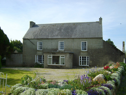 Clonroche HouseFarm house · 1.3 miCarrickmastia HillMountain / peak · 1.5 mi
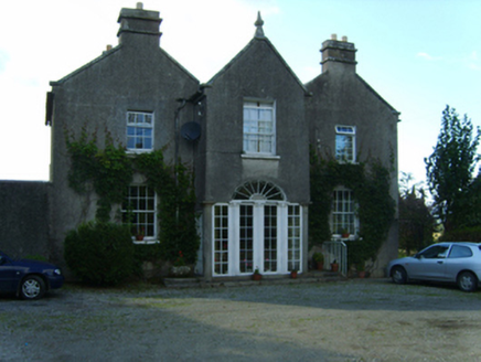 Killegney ParsonageRectory/glebe/vicarage/curate's house · 1.5 mi
_(geograph_5442502).jpg/250px-Castles_of_Leinster-_Adamstown,_Wexford_(1)_(geograph_5442502).jpg "Photo: Mike Searle, Wikimedia Commons · CC BY-SA 2.0") Castle (in ruins)Castle, tower house · 2.5 mi
Castle (in ruins)Castle, tower house · 2.5 mi Carrickbyrne HillMountain / peak · 4.7 mi
 1798 RebellionMemorial · 5.0 mi
 Silver Wattle7.0 mi
 Graveyard in St. Mullin'sGraveyard · 8.6 mi
 St. Mullins WellHoly well · 8.6 mi
 St. MullinsHistoric town · 8.6 mi
 Taghmon CastleCastle · 8.7 mi
 Pedunculate Oak10 mi
More archaeology and monuments in County Wexford · All of County Wexford
What do you know about this place?