
Places near here
Photo credits
- RosCamán, Roscommon official hurling development committee; individual aerial photographer not stated, roscaman.ie
- National Inventory of Architectural Heritage
- Mike Searle, Geograph · CC BY-SA 2.0
- Roscommon GAA County Board (article credits GAA.ie content); individual photographer not stated, www.gaaroscommon.ie
 Tremane GAA Grounds, Tremane Hurling ClubGAA ground · 1.8 mi
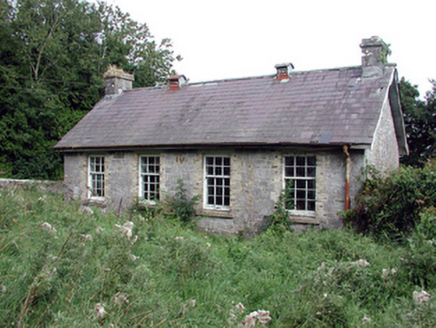 Saint Patrick's National SchoolSchool · 1.8 mi
Explorer Tom Saint Patrick's National School in Scardaun is hiding a scandal that involves the bargeboards dancing at midnight when…
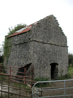 aviary/dovecote/pigeon house3.6 mi
Explorer Tom Aviary in Athleague thinks it’s still serving pigeon to the local gentry, but nobody has ordered a plate since 1890.…
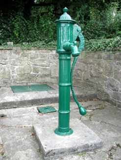 Historic buildingOfficially recorded historic building · 3.8 mi
Explorer Tom Historic building in Athleague is actually a water pump that thinks it’s an art piece because it was made before mains…
 mill (water)3.8 mi
Explorer Tom Mill in Athleague was once ruled by a goat who thought the water wheel was its personal amusement park and refused to…
 Athleague BridgeOfficially recorded historic building · 3.9 mi
Explorer Tom Athleague Bridge is still matchmaking couples who crossed it back when the river was much calmer and less moody. It…
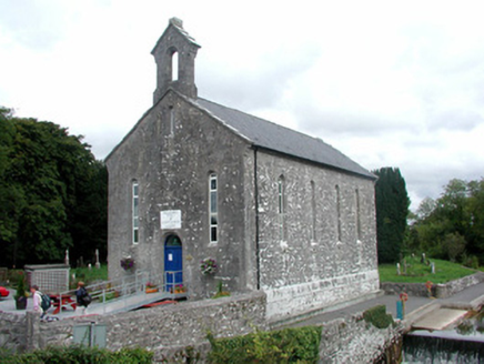 church/chapel3.9 mi
Explorer Tom Church or chapel in Glebe has very strong opinions on modern buildings, specifically that they lack 'soul' and 'good…
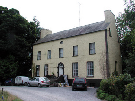 Bushypark HouseCountry house · 4.0 mi
Explorer Tom Bushypark House in Lisgillalea has an octagonal attic window that looks like a peephole for spying on the village. It…
 Athleague GAA PitchGAA ground · 4.2 mi
 CastleHouse, fortified house · 4.8 mi
Explorer Tom Castle in Toberavaddy holds the fake world record for the most awkward L-shaped architecture ever attempted. Edward…
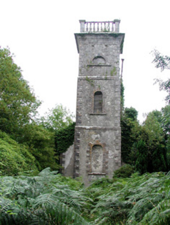 Mount Talbot Church (Tisrara)Church/chapel · 4.9 mi
Explorer Tom Mount Talbot Church in Tisrara is planning its retirement very carefully. It wants to turn into a fancy garden center…
 Rookwood BridgeBridge · 5.0 mi
Explorer Tom Rookwood Bridge has cutwaters so big they could park a car in, but its refuges are shallow as a puddle in summer. It…
More archaeology and monuments in County Roscommon · All of County Roscommon

What do you know about this place?Tap to add a comment or ask a question