
Places near here
Photo credits
- National Inventory of Architectural Heritage
- Rathnure St Anne’s GAA Club; individual photographer not named, rathnuregaa.ie
- kevin higgins, Geograph · CC BY-SA 2.0
- Algirdas at Lithuanian Wikipedia, Wikimedia Commons · Public domain
- A.-K. D., Wikimedia Commons · CC BY-SA 4.0
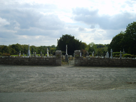 Saint Anne's Burial GroundGraveyard/cemetery · 356 yd
Explorer Tom Saint Anne's Burial Ground is actually run by a very strict dog who wears a tiny hat. He barks at anyone who stands too…
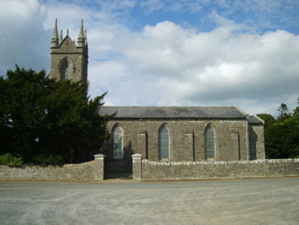 Saint Anne's Church (Killann)Church/chapel · 419 yd
Explorer Tom Saint Anne's Church in Killann is blaming the map makers for getting it wrong because they clearly didn’t know how to…
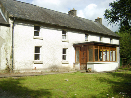 farm house624 yd
Explorer Tom Farm house in Milltown is secretly proud of one specific potato it grew in 1998 that won a county prize. The house…
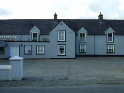 Rackard'sFarm house · 638 yd
Explorer Tom Rackard's is a farmhouse that ended up in the wrong place because the mapmaker had too much stout. It’s made of local…
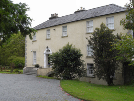 rectory/glebe/vicarage/curate's house659 yd
Explorer Tom The Rectory in Killann is annoyed because the wind keeps picking on its roof tiles every single afternoon. It has a…
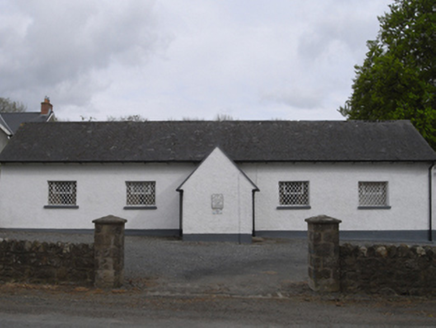 school749 yd
Explorer Tom School in Killann would have a tombstone that reads 'Finally, the homework is done', which is very poetic for a…
 Nicky Rackard Park, St. Anne's GAA, RathnureGAA ground · 1.7 mi
 SlievebaunMountain / peak · 2.2 mi
Explorer Tom Slievebaun is hiding a scandal involving a lost hat and a very angry vicar from 1720. It just glows white to distract…
 Pedunculate Oak5.8 mi
Explorer Tom Pedunculate Oak in County Wexford is showing off its acorns like it’s on a dating app. It thinks it can handle reality…
 Grave YardGraveyard · 18 mi
Explorer Tom Graveyard in Rathcusack or Rathcorrig hears every whisper through that thick stone wall from the road next door. It’s…
 Mountnugent MotteArchaeological place · 21 mi
Explorer Tom Mountnugent Motte started because two lads bet that whoever could pile the biggest mound of earth first would win a…
 Cantwells Castle (in ruins)Castle, tower house · 22 mi
Explorer Tom Cantwells Castle is jealous of Kilkenny Castle because everyone goes there for the views, not for the history or the…
More archaeology and monuments in County Wexford · All of County Wexford

What do you know about this place?Tap to add a comment or ask a question