
What is recorded here
On brow of gentle W-facing slope with good views from S-W-N. The River Nore flows roughly N-S c. 300m to the W. A public road runs roughly N-S c. 10m to the E. There is a medieval church (KK024-059001-) centrally placed within the graveyard. A circular area (overall diam. c. 63m; int. diam. c. 50m) enclosed by a stone wall and entered from the E side via a gate with capped piers on either side. The gravestones are concentrated in the W half of the graveyard and none are earlier in date than the late 18th century. The earliest headstone noted by Carrigan (1905, vol. 3, 488) dated to 1723. The stone wall enclosing the graveyard was built on the fosse of the original ecclesiastical enclosure (KK024-059003-), the internal bank of this enclosure being retained within the stone wall of the graveyard. See attached:
KK024-059001-_01 Google Earth street view image from the SE, May 2009
KK024-059002-_01 Google Earth street view image from the NE, May 2009
Compiled by: Jean Farrelly
Date of upload: 29 September 2021
On brow of gentle W-facing slope with good views from S-W-N. The River Nore flows roughly N-S c. 300m to the W. A public road runs roughly N-S c. 10m to the E. There is a medieval church (KK024-059001-) centrally placed within the graveyard. A circular area (overall diam. c. 63m; int. diam. c. 50m) enclosed by a stone wall and entered from the E side via a gate with capped piers on either side. The gravestones…
From the National Monuments Service (Archaeological Survey of Ireland) record KK024-059002
The monument record does not grant public access. Check the route and ask the landowner before entering private land.
- What survives
- Recorded monument
Places near here
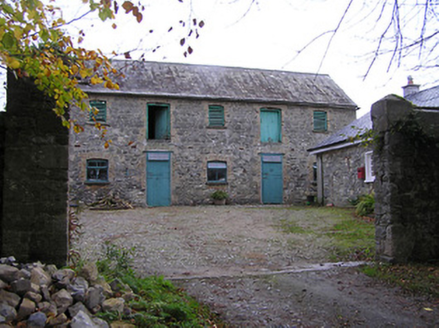 Maiden HallFarmyard complex · 808 yd
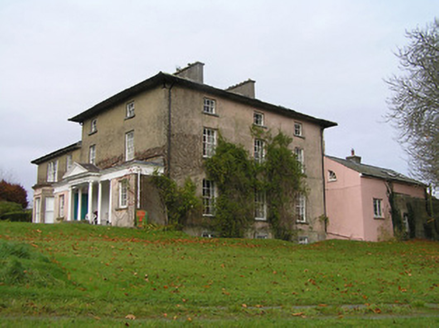 Maiden HallCountry house · 821 yd
 Black Walnut1653 yd
 Kilbline CastleCastle, tower house · 1.3 mi
 Annamult Castle (in ruins)Castle, tower house · 1.4 mi
 Round Tower2.0 mi
 Ogham stone in TullaherinOgham stone · 2.0 mi
 Tullaherin Church and Round TowerVisitor information · 2.0 mi
 Kells Priory Mill MuseumMuseum · 4.7 mi
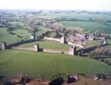 Kells Augustinian PrioryArchaeological place · 4.7 mi
 Kells Loop WalkWalking route · 4.8 mi
 Lacken WellSpring · 4.9 mi
Pictures: National Inventory of Architectural Heritage; R. A. Nonenmacher, Wikimedia Commons · CC BY-SA 4.0; Paddy O'Shea, Wikimedia Commons · Public domain; Humphrey Bolton, Geograph · CC BY-SA 2.0; Sabrina O Brien, Wikimedia Commons · CC BY-SA 4.0; A.-K. D., Wikimedia Commons · CC BY-SA 4.0; Eirian Evans, Geograph · CC BY-SA 2.0; Dave Henderson, Wikimedia Commons · CC BY-SA 2.0; Martin Richard Phelan, Wikimedia Commons · CC BY-SA 2.0
More archaeology and monuments in County Kilkenny · All of County Kilkenny
What do you know about this place?