
What is recorded here
Situated just off the crest of a low N-S ridge on a gentle W-facing slope. This is a slightly raised and overgrown circular area (diam. 58m) defined by a fosse (Wth 4-6m; int. D 0.8-1m; ext. D 0.4-1m), with a counterscarp bank (Wth 2.5m; ext. H 0.5m) NW-E. There is no evidence of an inner bank and no identifiable original entrance.
The above description is derived from the published 'Archaeological Inventory of County Wexford' (Dublin: Stationery Office, 1996). In certain instances the entries have been revised and updated in the light of recent research.
Compiled by: Michael Moore
Date of upload: 17 May, 2012
Amended: 6 October, 2020
A local fairy fort (ringfort/rath); wider significance not recorded.
The monument record does not grant public access. Check the route and ask the landowner before entering private land.
- What survives
- Recorded monument
Places near here
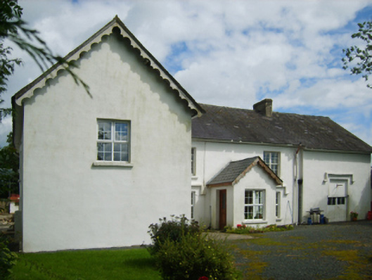 Raheenbeg Housefarm house · 703 yd
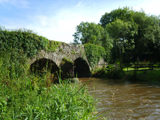 Killenagh Bridgebridge · 852 yd
 Site of ChurchChurch · 1244 yd
 1798 MemorialMemorial · 2.0 mi
 Enclosure in Ballinvally (gorey By.),curratubbin UpperEnclosure · 2.1 mi
 Wexford - TexasMemorial · 2.1 mi
 Shrule Deer FarmHeritage attraction · 2.3 mi
 Donaghmore BeachBeach / strand · 2.8 mi
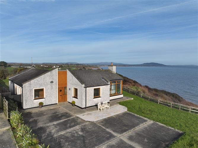 Roney Point BeachBeach / strand · 3.1 mi
 Boley HillMountain / peak · 3.2 mi
 Barnadown WoodWood · 3.4 mi
 Gilligan's CaveCave · 3.6 mi
Other information
Photo: Credit not shown in the picture search · Rights wording not checked; contact us if this picture should be removed