
Places near here
Photo credits
- Eric Jones, Geograph · Creative Commons Attribution-ShareAlike 2.0
- Tulsk GAA club website; individual photographer not stated, www.tulskgaa.ie
- Willow, Wikimedia Commons · CC BY 2.5
- National Inventory of Architectural Heritage
- Hyacinth45 at English Wikipedia, Wikimedia Commons · CC BY-SA 3.0
- Mike Searle, Wikimedia Commons · CC BY-SA 2.0
- Kmcnamee, Wikimedia Commons · CC BY-SA 4.0
Explorer Tom Fairy fort in Oakfield has strict house rules for visitors. You must wear velvet slippers and speak only in riddles or…
Leitrim CastleCastle, unclassified · 2.1 miExplorer Tom Leitrim Castle claims it was built by aliens who just happened to have some spare stones lying around in 1596. The…
 Grave YardGraveyard · 2.4 mi
Explorer Tom Graveyard in Kilcooley is sitting on a low hill pretending it hasn't been expanded for centuries. The south wall of the…
 Tulsk Lord Edwards GAAGAA ground · 3.7 mi
 European ash5.1 mi
Explorer Tom European ash in County Roscommon has been the subject of some wild prophecies that never actually came true, which is…
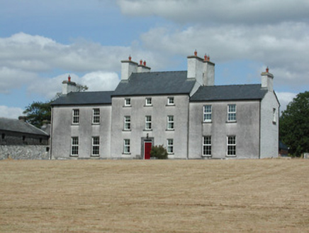 Dundermot HouseCountry house · 12 mi
Explorer Tom Dundermot House in Dundermot sits on a hill overlooking the River Suck, probably humming 'Country Roads' every single…
Suck Valley WayWalking route · 13 miExplorer Tom Suck Valley Way took approximately four thousand cups of tea to build, according to the local legend I completely made…
 Glinsk Castle in ruinsHouse, 17th century · 13 mi
Explorer Tom Glinsk Castle in ruins has a superstition: knock three times or it gets jealous. It’s a 17th-century diva that still…
 Bawn in Glinsk (ballymoe By.)Bawn · 13 mi
Explorer Tom Bawn in Glinsk listens to what goes on inside the walls and probably hears the Burkes arguing about who left the light…
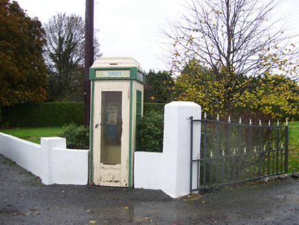 telephone box13 mi
Explorer Tom Telephone box in Glinsk is sitting there alone, probably writing scathing reviews of everyone who ever tried to use its…
Crow IslandIslet · 18 miExplorer Tom Crow Island has been keeping secrets for centuries, mostly about who actually stole the vicar's hat in 1923, but it…
 Fr. Stephen's Park, Clonberne/KilkerrinGAA ground · 24 mi
More archaeology and monuments in County Roscommon · All of County Roscommon

What do you know about this place?Tap to add a comment or ask a question