
Places near here
Photo credits
- National Inventory of Architectural Heritage
- Kmcnamee, Wikimedia Commons · CC BY-SA 4.0
- Golfing in Ireland; photographer not stated, Source publisher
- Aiden Clarke, Wikimedia Commons · CC BY-SA 2.0
- Jscaguiat, Wikimedia Commons · CC BY-SA 4.0
- Sawyer777, Wikimedia Commons · CC BY-SA 4.0
- Gillaween, Wikimedia Commons · CC BY-SA 4.0
- Wikimedia Commons contributor · CC BY 2.5
- Willow, Wikimedia Commons · CC BY 2.5
- Duncan Grant, Wikimedia Commons · CC BY-SA 2.0
Explorer Tom Frenchpark House is hiding a secret message in its stones, probably about who owes whom a drink. The MacDermots built…
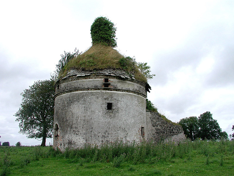 Frenchpark HouseBuilding misc · 1.1 mi
Explorer Tom Frenchpark House is a circular smokehouse with stone slates, looking like a fancy mushroom that got lost on the way to…
 Nash Park, Frenchpark, Western Gaels GAAGAA ground · 1.3 mi
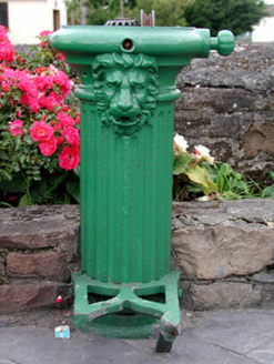 water pump1.3 mi
Explorer Tom Water pump in Frenchpark Demesne has a lion’s head that once let a goat rule the crossroads for an afternoon. The goat…
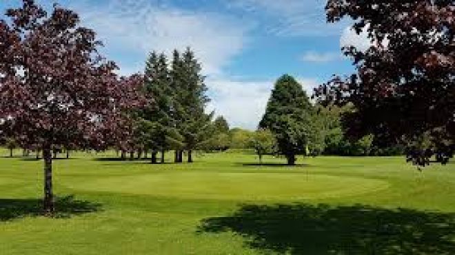 Ballaghaderreen Golf ClubGolf course · 5.5 mi
 ToberaraghtHoly well · 5.5 mi
Explorer Tom Toberaraght in Clogher has cursing stones cemented on top like very angry bookmarks. The hero who saved it probably…
 Clonalis HouseMuseum · 6.9 mi
Explorer Tom Clonalis House near Castlerea looks like the sort of grand Victorian house that might have a polite answer for…
 Queen Medb: RathcroghanLegend location · 7.2 mi
Explorer Tom Queen Medb: Rathcroghan is where the Táin starts turning a quarrel about a bull into an epic. Medb had a royal seat…
 The Mórrígan: OweynagatLegend location · 7.2 mi
Explorer Tom The Mórrígan: Oweynagat is called the Cave of Cats, which fooled me into expecting a very ordinary sort of trouble.…
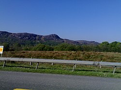 Curlew MountainsMountain / peak · 8.7 mi
Explorer Tom The Curlew Mountains may have nothing to do with curlew birds, which is awkward because I had prepared a terrific…
 European ash9.2 mi
Explorer Tom European ash in County Roscommon has been the subject of some wild prophecies that never actually came true, which is…
 CashelFairy fort / stone ringfort · 9.8 mi
Explorer Tom Another cashel in Kilcashel stands tall on the ridge, looking down its nose at everyone else with its thick, sturdy…
More archaeology and monuments in County Roscommon · All of County Roscommon

What do you know about this place?Tap to add a comment or ask a question