
What is recorded here
From the National Monuments Service (Archaeological Survey of Ireland) record WA031-042
Places near here
Photo credits
- Maker not stated on source page, pl.pinterest.com
- National Inventory of Architectural Heritage
- Maker not stated on source page, www.jigidi.com
- Maker not stated on source page, www.dreamstime.com
- Maker not stated on source page, www.flickr.com
- Maker not stated on source page, www.worldatlas.com
- Maker not stated on source page, www.ireland.com
- Kmcnamee, Wikimedia Commons · CC BY-SA 4.0
- Ken Sutton / INPHO; published by The42, www.the42.ie
- Maker not stated on source page, www.pinterest.com
- Slamforeman, Wikimedia Commons · CC BY 4.0
- Maker not stated on source page, www.tripadvisor.com
 Standing stone in MapestownStanding stone · 451 yd
Explorer Tom Standing stone in Mapestown hosted a love story that went horribly wrong right next to it. A triangular base and an…
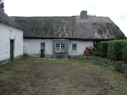 Kilrush CottageFarm house · 533 yd
Explorer Tom Kilrush Cottage in Kilrush Marquis holds a fake world record for the most peaceful thatched roof in County Waterford.…
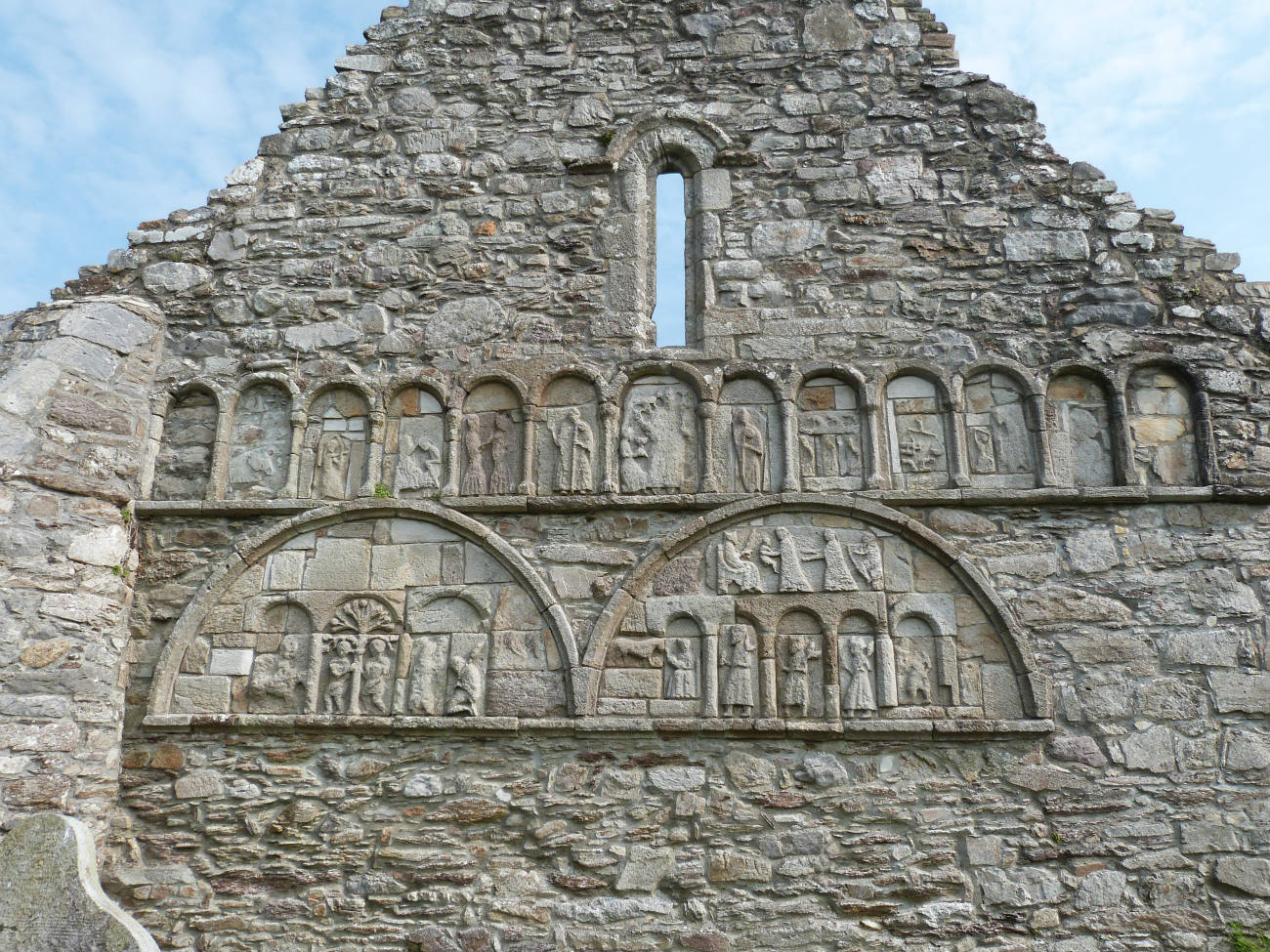 Church (in ruins)Church · 720 yd
Explorer Tom Church in Glebe might be the parish church of Kilrush, but it's too shy to admit it, hiding behind its graveyard bank…
 Kilrush GraveyardGraveyard · 725 yd
Explorer Tom Kilrush Graveyard has strict rules for visitors: no running, no loud singing, and absolutely no asking why the gate is…
 Standing stone in Spring (duke)Standing stone · 1187 yd
Explorer Tom Standing stone in Spring is the original spot where the house used to be. It’s like the ghost of your old bedroom…
 Standing stone (present location) in Spring (duke)Standing stone (present location) · 1196 yd
Explorer Tom Standing stone in Spring got moved fifteen meters for a housing estate, which feels rude but practical. It’s now in a…
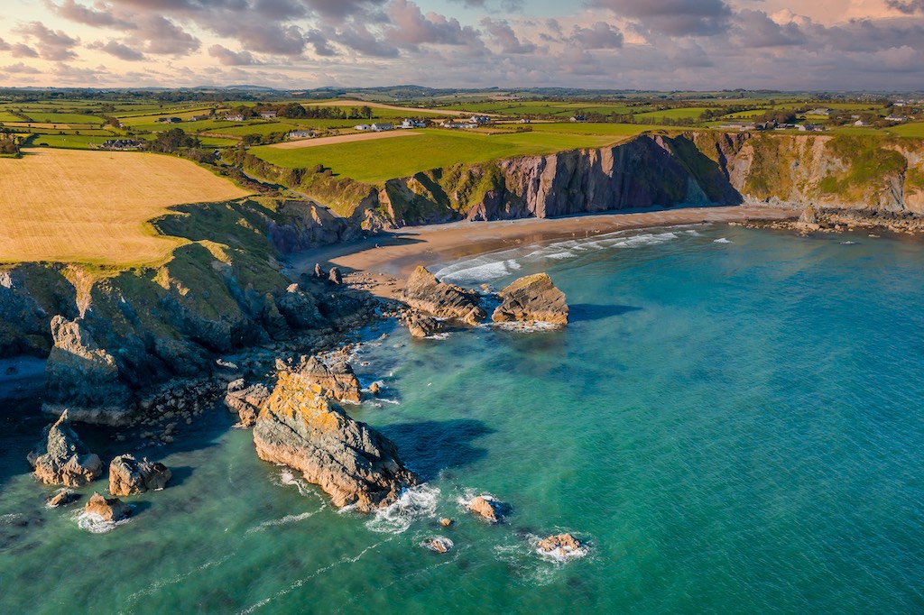 Shandon IslandIsland · 1374 yd
Explorer Tom Shandon Island suspects the postman is stealing its letters and has started keeping a very suspicious dog on the shore…
 Páirc Dungarbhain, DungarvanGAA ground · 1407 yd
 Fraher Field, Waterford GAAGAA ground · 1667 yd
 Presentation Community CemeteryCemetery · 1.0 mi
Explorer Tom Presentation Community Cemetery in County Waterford is incredibly proud of its ability to keep perfect records without…
 Waterford County MuseumMuseum · 1.3 mi
Explorer Tom Waterford County Museum in Dungarvan holds the local stories that can vanish when a grand national history marches past…
 CastleCastle, unclassified · 1.6 mi
Explorer Tom Castle in Killosseragh has so many former names it’s legally required to use them all in rotation just to keep its head…
More archaeology and monuments in County Waterford · All of County Waterford

What do you know about this place?Tap to add a comment or ask a question