What is recorded here
Situated in pasture on a small knoll at the top of a N-facing slope. Subcircular scrub-covered area (dims. 44m N-S; 39m E-W) defined by an earth and stone bank (Wth 2.5m; int. H 1.1m; ext. H 1.3m) with internal and external stone-revetment ENE-WSW, which is reduced to a scarp (H 0.4-1.4m) elsewhere. The widened entrance (Wth 5.4m) is at ENE. The N part of the interior has been used as a dump for field stones. There is no visible fosse.
The above description is derived from the published 'Archaeological Inventory of County Waterford' (Dublin: Stationery Office, 1999). In certain instances the entries have been revised and updated in the light of recent research.
Date of upload/revision: 23 December 2008
The monument record does not grant public access. Check the route and ask the landowner before entering private land.
- What survives
- Recorded monument
Places near here
 Man-made underground passage in Ballygarran (middlethird By., Newcastle Par.)Man-made underground passage · 1290 yd
 Field boundary in Ardeenloun EastField boundary · 1.0 mi
 Site of CastleCastle, unclassified · 1.1 mi
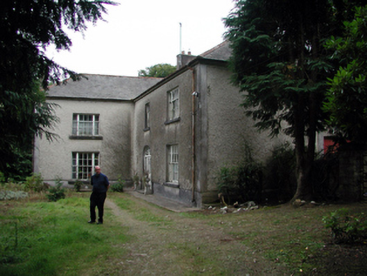 Knockaderry Househouse · 1.2 mi
 farm housefarm house · 2.0 mi
 St. Martin's WellSpring · 2.6 mi
 St. Bernard's WellSpring · 3.0 mi
 Glenhouse WoodForest · 4.0 mi
 Castle (in ruins)Castle, tower house · 4.1 mi
 8 Arch GalleryGallery · 4.5 mi
 Annestown monumentMemorial · 4.5 mi
 Kilmurrin CoveBeach / strand · 4.6 mi