What is recorded here
Located in an undulating landscape with the headwaters of a small SE-NW stream c. 50m to the NE. This is a raised wooded rectangular area (dims. 38m NE-SW; 35m NW-SE) defined by a slight earthen bank which may be recent. There is an entrance gap (Wth 1.5m) on the NE side. A moat (Wth 6m; D 2m) is only visible on the SW side. (Barry 1977, 223, WX 83)
The above description is derived from the published 'Archaeological Inventory of County Wexford' (Dublin: Stationery Office, 1996). In certain instances the entries have been revised and updated in the light of recent research.
Compiled by: Michael Moore
Date of upload/revision: 31 August, 2012
The monument record does not grant public access. Check the route and ask the landowner before entering private land.
- What survives
- Recorded monument
Places near here
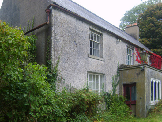 Wilmount Housefarm house · 928 yd
 Not idicatedField system · 1029 yd
 IndicatedEnclosure · 1091 yd
 farm housefarm house · 1261 yd
 Embanked enclosureCastle, motte · 1.0 mi
 Eden ValeWood · 1.3 mi
 Ballywish SouthForest · 1.9 mi
 Peace GardenMemorial · 2.0 mi
 1798 MemorialMemorial · 2.6 mi
 Wexford Wildfowl ReserveHeritage attraction · 4.2 mi
 Ballinesker BeachBeach / strand · 4.8 mi
 (site of) Polehore CastleCastle, unclassified · 4.8 mi