What is recorded here
Situated in the slight valley of a W-E stream on a gentle E-facing slope at the foothills of the Blackstairs Mountains with the stream just to the S. Marked as a small rectangular embanked or moated enclosure (ext. dims c. 30m E-W; c. 25m N-S) on the 1839 ed. of the OS 6-inch map. It is not visible at ground level in pasture in a field known as the Raheen field. It has been listed as a moated site (Barry 1977, 233, WX 82).
The above description is derived from the published 'Archaeological Inventory of County Wexford' (Dublin: Stationery Office, 1996). In certain instances the entries have been revised and updated in the light of recent research.
Compiled by: Michael Moore
Date of upload/revision: 26 April, 2012
Amended: 9 May, 2014
The monument record does not grant public access. Check the route and ask the landowner before entering private land.
- What survives
- Recorded monument
Places near here
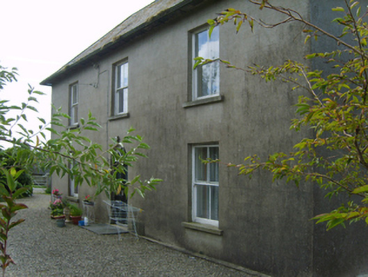 Cromoge Housefarm house · 1528 yd
 Black Rock MountainMountain / peak · 1.5 mi
 Structure in Ballycrystal,boladurraghStructure · 1.7 mi
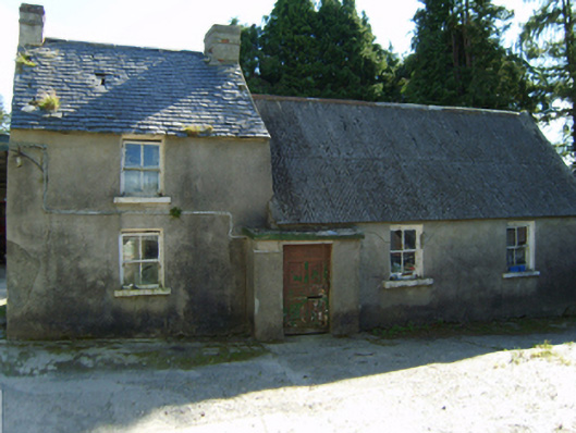 farm housefarm house · 1.7 mi
 Ecclesiastical enclosure in Bola BegEcclesiastical enclosure · 2.1 mi
 Site of Clonmullen CastleCastle, unclassified · 2.4 mi
 Clorogue BegMountain / peak · 2.5 mi
 St Bridget's WellSpring · 2.8 mi
 Carrickduff WoodWood · 3.3 mi
 Ryland Castle (in ruins)Castle, unclassified · 3.3 mi
 Pedunculate OakPedunculate Oak · 3.4 mi
 Mount LeinsterMountain · 3.5 mi