
What is recorded here
Sub-circular site located immediately east of the Boladurragh/ Ballycrystal townland boundary on the Blackrock ridgeline. Hut is 5m in external diameter and 3m in internal diameter. The walls survive to a height of 1m. There is no evidence for the roofing style used. Located in an area with physical evidence for large scale turf cutting. A trackway runs east-west to the north of the site. Folklore also attests to the use of the mountain for turf cutting suggesting that this hut may have acted as either a weather shelter or a store house (Ó Murchú 2016).
The monument record does not grant public access. Check the route and ask the landowner before entering private land.
- What survives
- Recorded monument
Places near here
 Black Rock MountainMountain / peak · 344 yd
 Moats of CraanMountain / peak · 1611 yd
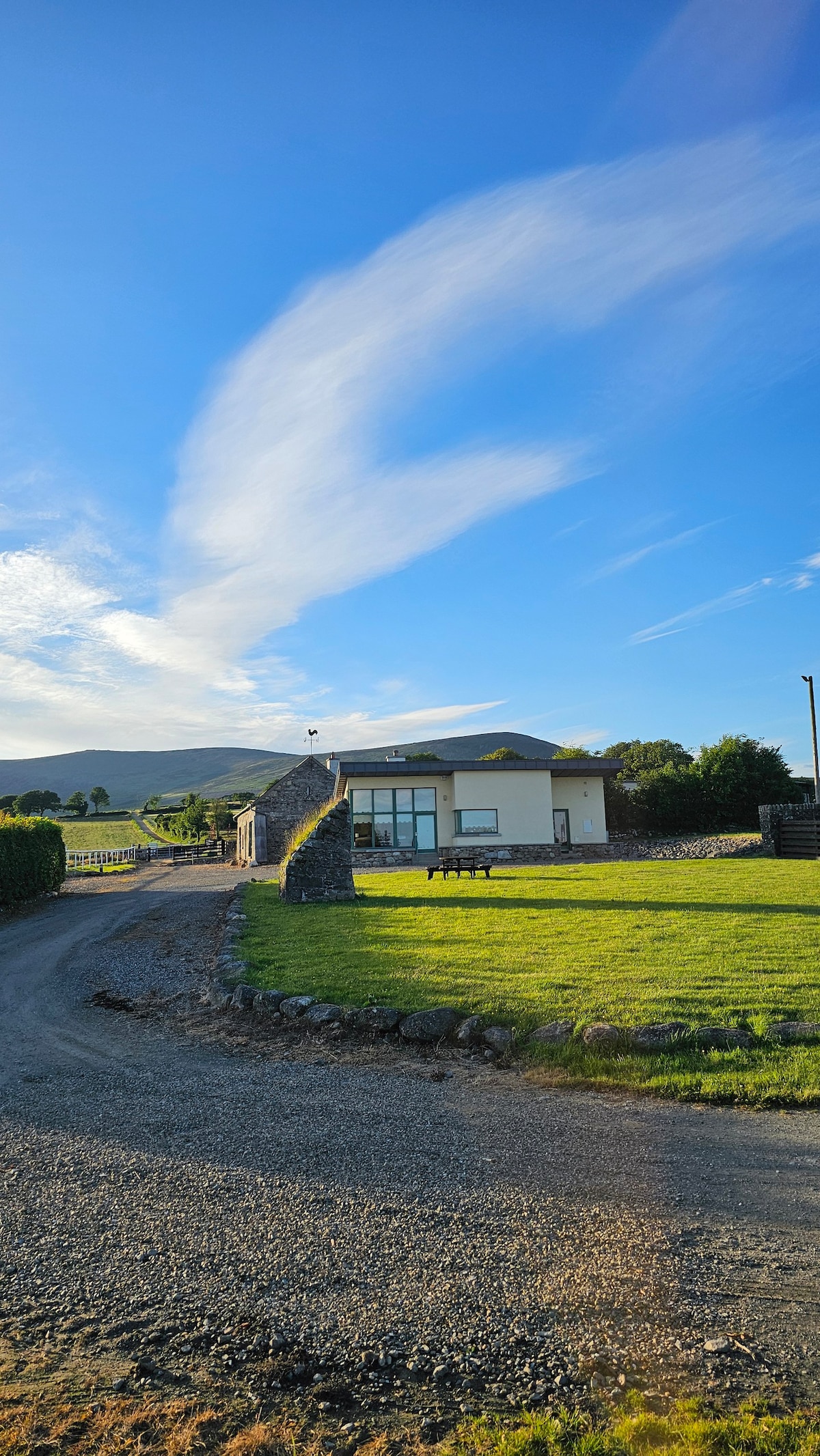 IndicatedEnclosure · 1.5 mi
 St Bridget's WellSpring · 1.6 mi
 Cross in Kilbrannish SouthCross · 1.7 mi
 Mount LeinsterMountain · 1.9 mi
 Irish Hangliding and Paragliding AssociationMemorial · 2.0 mi
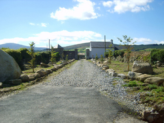 Ballycrystal Housegates/railings/walls · 2.2 mi
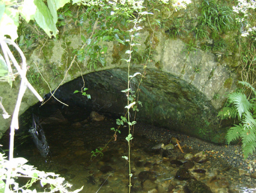 Cloroge Bridgebridge · 2.4 mi
 Site of Clonmullen CastleCastle, unclassified · 2.9 mi
 Carrickduff WoodWood · 3.5 mi
 Common LimeCommon Lime · 4.2 mi
Other information
Photo: Credit not shown in the picture search · Rights wording not checked; contact us if this picture should be removed