
What is recorded here
On a rise in a low-lying landscape. D-shaped grass-covered area (dims 32m NW-SE, 27m NE-SW) defined by a grass-covered stone spread (Wth 3.2-3.6m; int. H 0.1-0.45m; ext. H 0.2-0.55m) which is reduced to a stone-covered scarp (H 1.3m) at N. There is no visible entrance.
Compiled by: Michael Moore
Date of upload: 24 August 2010
The monument record does not grant public access. Check the route and ask the landowner before entering private land.
- What survives
- Recorded monument
Places near here
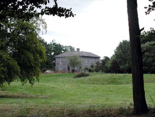 Glencarne Househouse · 200 yd
 CaveMan-made underground passage · 411 yd
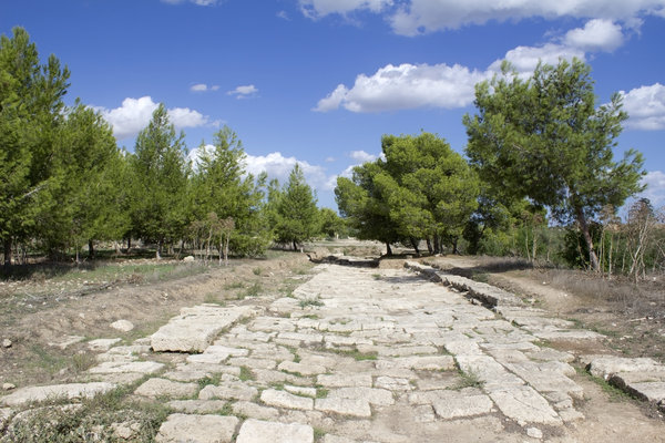 Ancient RoadRoad, road/trackway · 723 yd
 indicatedFairy fort / stone ringfort · 773 yd
 Hughestown WoodForest · 1.6 mi
 Longford HillMountain / peak · 2.0 mi
 Horse-chestnutHorse-chestnut · 2.4 mi
 Moylung Castle (in ruins)Castle, unclassified · 2.5 mi
 Castle IslandIslet · 2.6 mi
 Erris BayBay · 3.1 mi
 Trinity IslandIslet · 3.2 mi
 Moon RiverHeritage attraction · 4.2 mi
Other information
Photo: Credit not shown in the picture search · Rights wording not checked; contact us if this picture should be removed