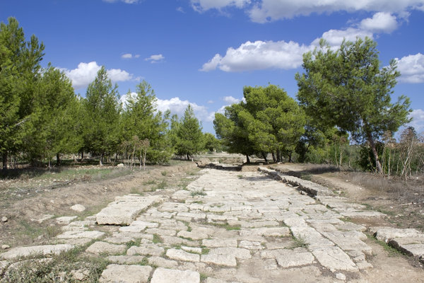
What is recorded here
On the SE-facing slopes of a rise and flat ground. Linear grass-covered feature (L 700m; Wth 4.6m-6m) beginning c. 100m E of Ardcarn Church (RO006-103002-) at a point where it meets road (RO006-103012-) and running off to the SE, parallel with the N4 and c. 30-40m from it. Archaeological testing across this feature towards its S end showed that it had been created by cutting back the soil and heaping it to either side to make the banks, but no metalled surface or dating evidence was recovered (Halpin 1995).
Compiled by: Michael Moore
Date of upload: 24 August 2010
The monument record does not grant public access. Check the route and ask the landowner before entering private land.
- What survives
- Recorded monument
Places near here
 CaveMan-made underground passage · 347 yd
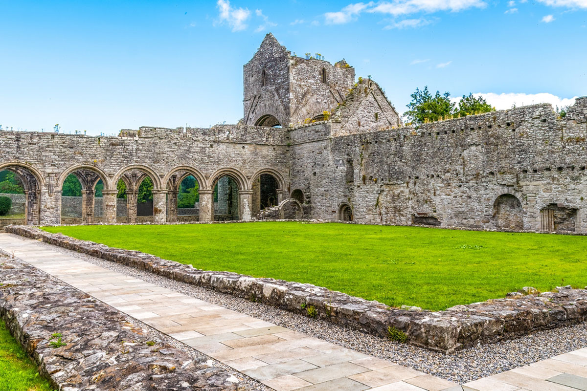 MonasteryReligious house, Augustinian, of Arrouaise nuns · 397 yd
 IndicatedSettlement deserted, medieval · 506 yd
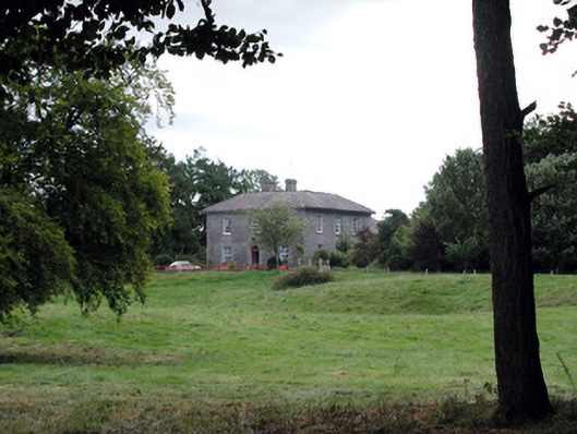 Glencarne Househouse · 551 yd
 Longford HillMountain / peak · 1.6 mi
 Hughestown WoodForest · 1.9 mi
 Horse-chestnutHorse-chestnut · 2.0 mi
 Lough Key Forest ParkWood · 2.1 mi
 Castle IslandIslet · 2.2 mi
 Green IslandIslet · 2.3 mi
 Moylung Castle (in ruins)Castle, unclassified · 2.5 mi
 Erris BayBay · 2.8 mi
Other information
Photo: Credit not shown in the picture search · Rights wording not checked; contact us if this picture should be removed