
What is recorded here
On an E-facing slope with rock outcrop, between Ardcarn church (RO006-103001-) and the NW-SE line of the N4 which turns WSW c. 300m N of the church. Nothing survives N and E of the N4. An area of c. 30 ha (c. 80 acres) containing D-shaped, wedge-shaped and rectangular fields (dims 23m x 17m to 140m x 125m). The field boundaries are defined by grass-covered scarps, collapsed stone walls and earthen banks (Wth 3-5m; H 0.2-1m). A roadway (RO006-103012-), visible in part as a hollow way (Wth 4-6m; D 0.2-0.5m), runs NE-SW from rath (RO006-149----) (L c. 800m), curving N around the base of Ardcarn hill (L c. 300m). At its N end it meets a NW-SE roadway (RO006-103008-), visible in part as a hollow way (Wth 5-10m; L c. 700m) (Halpin 1995) which is parallel with the N4 and c. 30-40m from it. The angle between the relict roads is foreshortened by another hollow way (L c. 260m) c. 230m short of their junction.
The nunnery (RO006-103003-) is situated within this triangle, and there are three house-sites in this area including (RO006-103013-) a rectangular grass-covered platform (dims 6.5m N-S; 6m E-W; H 0.3m), (RO006-103014-) a subcircular grass-covered area (int. dims 8.5m E-W; 7.8m N-S) defined by a grass-covered stone spread (Wth 1.65-4m; int. H 0.3-0.7m; ext. H 0.3-1m) with an entrance (Wth 1.5m) at E, and (RO006-103015-) a rectangular structure (int. dims 12m E-W; 5.8m N-S) defined by the base of a double-faced wall (Wth 1-1.3m) with no visible entrance. About 200m N of Ardcarn Church is the site of a rath (RO006-103009-) and a cairn (RO006-103011-), and there is a mound (RO006-103018-) c. 450m WNW of the church. The S end of the field system incorporates two cashels (RO006-103016-; RO006-103017-).
Archaeological testing (Henry 2000a) prior to the widening of the N4 at the NE edge of the earthwork complex failed to produce any dating or settlement evidence, but excavation showed that the banks were composed of earth (Wth 4-5m; H 0.4m) overlain by field stones or the remnants of drystone walls.
Compiled by: Michael Moore
Date of upload: 24 August 2010
The monument record does not grant public access. Check the route and ask the landowner before entering private land.
- What survives
- Recorded monument
Places near here
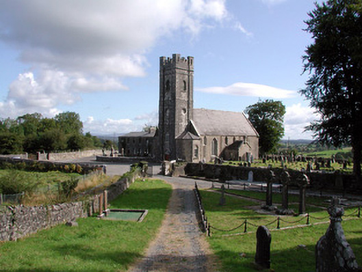 Ardcarn Churchchurch/chapel · 107 yd
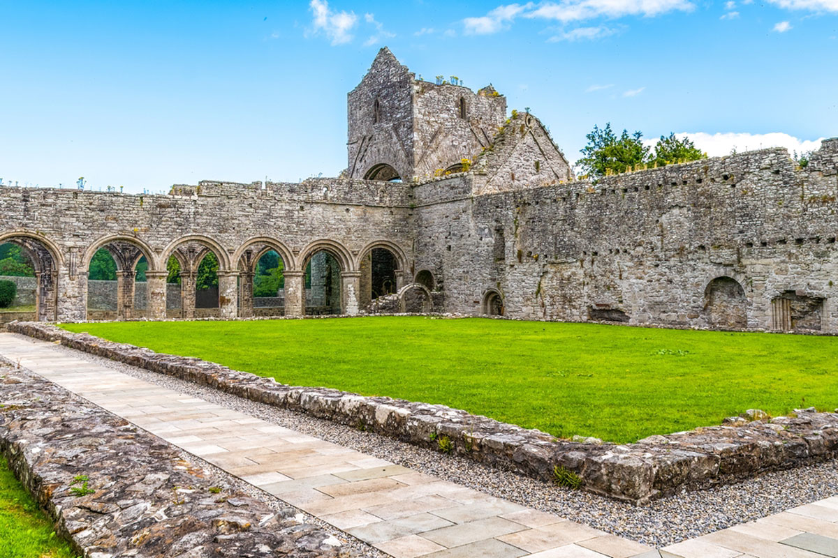 MonasteryReligious house, Augustinian, of Arrouaise nuns · 109 yd
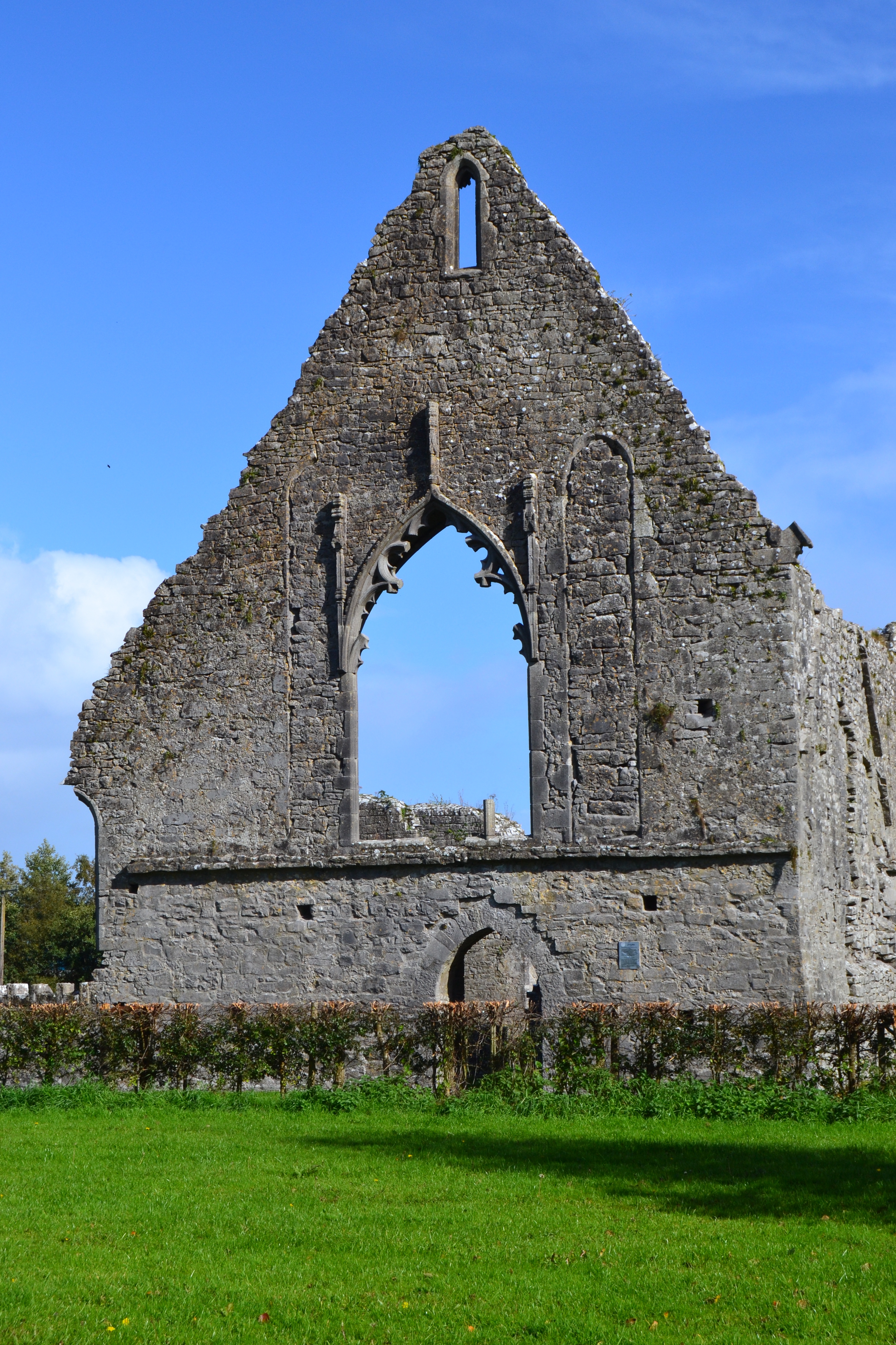 Templemihil (Site of)Church · 158 yd
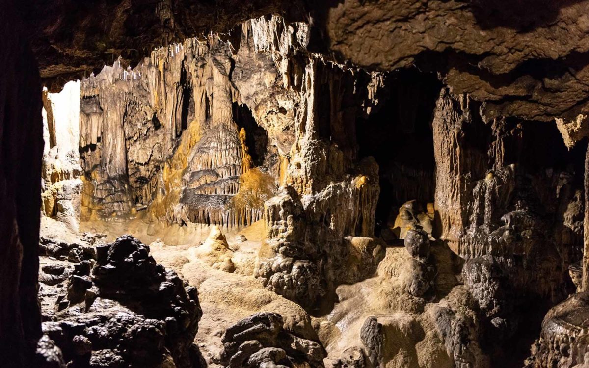 CaveMan-made underground passage · 829 yd
 Longford HillMountain / peak · 1.3 mi
 Horse-chestnutHorse-chestnut · 1.7 mi
 Lough Key Forest ParkWood · 1.8 mi
 Western RedcedarWestern Redcedar · 1.9 mi
 Castle IslandIslet · 1.9 mi
 Green IslandIslet · 2.0 mi
 Erris BayBay · 2.5 mi
 Moylung Castle (in ruins)Castle, unclassified · 2.5 mi
Other information
Photo: Credit not shown in the picture search · Rights wording not checked; contact us if this picture should be removed