What is recorded here
Situated towards the top of an E-facing slope. Subcircular grass-covered area (dims. 65m NW-SE; 55m NE-SW) defined by an earth and stone bank (Wth 4-6m; int. H 0.6-0.7m; ext. H 0.9-1.6m) with some bushes. An outer fosse (Wth of top 3-4m; max. D 0.4m) is best preserved NW-NE and SSE-S. The bank and fosse are missing at SE (L 7m) but the only entrance (Wth 2.8m) is at NE.
The above description is derived from the published 'Archaeological Inventory of County Waterford' (Dublin: Stationery Office, 1999). In certain instances the entries have been revised and updated in the light of recent research.
Compiled by: Michael Moore.
Date of upload/revision: 10th December 2010.
The monument record does not grant public access. Check the route and ask the landowner before entering private land.
- What survives
- Recorded monument
Places near here
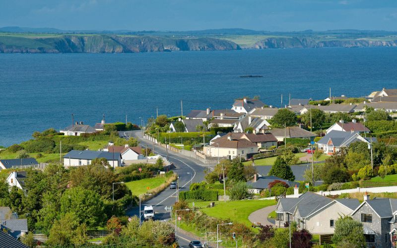 IndicatedFairy fort / ringfort · 813 yd
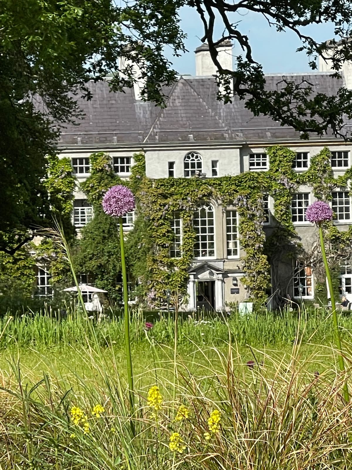 Fulacht fia in KilnagrangeFulacht fia · 1135 yd
 Church in KilcanaveeChurch · 1.1 mi
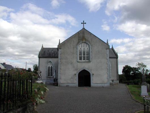 Saint Anne's Catholic ChurchOfficially recorded historic building · 1.1 mi
 Site of Cas.Castle, unclassified · 1.4 mi
 8 Arch GalleryGallery · 1.5 mi
 Croughaun HillMountain / peak · 1.8 mi
 Castle (in ruins)Castle, unclassified · 2.0 mi
 Kilclooney WoodForest · 3.1 mi
 Whitestown WoodForest · 3.7 mi
 Magic Road (finish)Heritage attraction · 4.4 mi
 LackaduffMountain / peak · 4.4 mi