What is recorded here
At the W end of a low E-W ridge with higher ground to the N. D-shaped grass-covered area (int. dims 21.4m NNE-SSW; 13.9m WNW-ESE) defined by a grass-covered stone spread (Wth 2.9-4.2m; int. H 0.2-0.3m; ext. H 0.7m generally to 1.1m at S) S-W-NNE, with inner facing stones visible at N and S. It is truncated by a NNE-SSW road wall at E, and a relict wall defined by a grass-covered stone spread (Wth 2.7m; H 0.6m; L 10m) abuts the outside of the perimeter at NW.
Compiled by: Michael Moore
Date of upload: 24 August 2010
The monument record does not grant public access. Check the route and ask the landowner before entering private land.
- What survives
- Recorded monument
Places near here
 CaveMan-made underground passage · 1520 yd
 Bockagh HillMountain / peak · 1.3 mi
 Casatle (ruins)Castle, unclassified · 1.5 mi
 Church in Doogary ((costello By.)Church · 1.6 mi
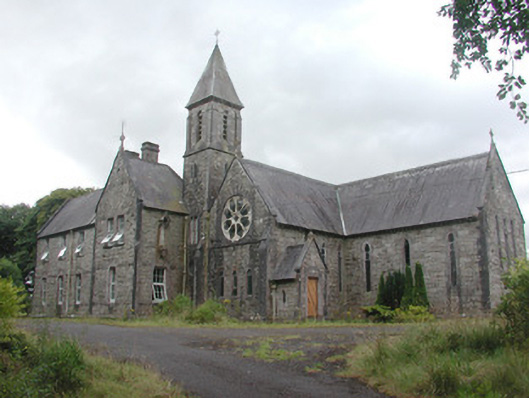 Saint Mary's Conventconvent/nunnery · 1.6 mi
 Embanked enclosureFairy fort / stone ringfort · 1.7 mi
 CastleCastle, unclassified · 2.1 mi
 Old Cave Burial GroundArchaeological place · 5.7 mi
 Bawn IslandIslet · 7.0 mi
 Crow IslandIslet · 7.2 mi
 Rose PointHeadland · 7.2 mi
 Castle PointHeadland · 7.3 mi