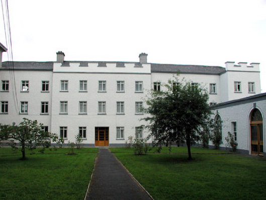
What is recorded here
St. Nathy's complex, comprises a school, former barracks and gate lodge. Now used as a school. Detached fourteen-bay three-storey former barracks, established 1798, with five-bay breakfront with stepped parapet and two-storey gable fronted advanced block to north-east. Later in use as RIC barracks. Hipped tiled roof with rendered chimneystacks. Pebbledashed walls with timber casement windows. Detached U-plan seven-bay three-storey school, built 1916, with extension built 1941 connecting school to former barracks. Three-bay breakfront with advanced pedimented entrance bay. Two-bay projecting terminating blocks. Hipped slate roof with red brick chimneystacks, copper vents and stucco console brackets to eaves. Ruled-and-lined render to walls with channelled render to ground floor with string course and stucco quoins. Tooled cut stone plinth. Segmental- and square-headed windows with stucco surround and cornice to some, containing timber sash windows with stone sills. Tripartite windows with segmental pediment and ashlar surround to projecting block. Round-headed door opening with ashlar surround and keystone with timber panelled double doors approached by steps. Cast-iron water pump set in limestone slabs, c.1880, to north-west. Site bounded by random coursed wall with cast-iron railings to front elevation. Rendered piers with cast-iron gates. Three-bay single-storey gate lodge with hipped tiled roof and rendered walls, now vacant. Square-profiled cut stone gate piers to site of former Church of Ireland dating to 1798 to north of rear site to gate lodge.
St. Nathy's college complex is of social and historical importance as it incorporates the eighteenth-century barracks, which was subsquently occupied by the RIC in 1830. The architectural design of the school is apparent, articulated by the ornate stucco detailing, rhythmical fenestration and artistically designed gates. The monumental size and architectural quality makes it one of the most impressive public buildings in the town.
This does not grant access. Most recorded buildings are privately owned; view them only from public ground unless the owner allows entry.
Places near here
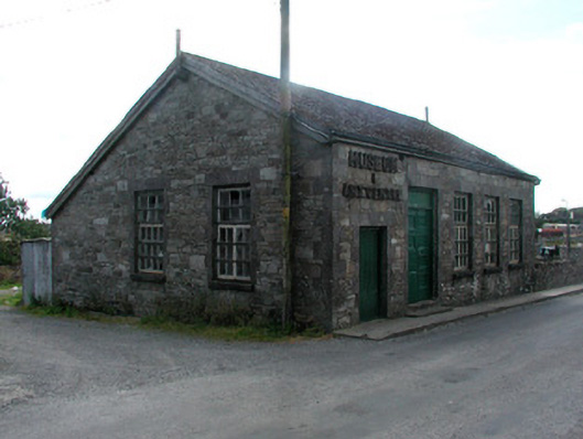 hydroelectric power stationhydroelectric power station · 84 yd
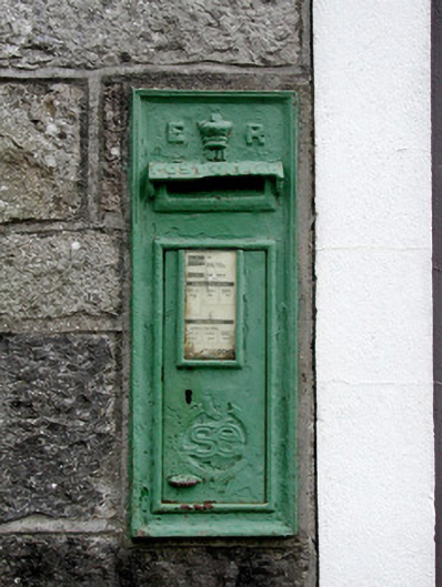 post boxpost box · 106 yd
 Embanked enclosureFairy fort / earthen ringfort · 1224 yd
 CastleCastle, unclassified · 1270 yd
 Casatle (ruins)Castle, unclassified · 1716 yd
 Enclosure in ToobrackanEnclosure · 1.3 mi
 Bockagh HillMountain / peak · 2.5 mi
 Druminagh WoodForest · 5.5 mi
 Fairymount HillMountain / peak · 5.6 mi
 Bawn IslandIslet · 5.7 mi
 Rose PointHeadland · 6.3 mi
 Castle PointHeadland · 6.5 mi
Other information
Photo: National Inventory of Architectural Heritage · Website use allowed for educational or private purposes with source credit