
What is recorded here
From the National Monuments Service (Archaeological Survey of Ireland) record WX016-018
Places near here
Photo credits
- National Inventory of Architectural Heritage
- Maker not stated on source page, www.theirishroadtrip.com
- Maker not stated on source page, en.wikipedia.org
- Kmcnamee, Wikimedia Commons · CC BY-SA 4.0
- Maker not stated on source page, www.pinterest.com
- Maker not stated on source page, ie.polomap.com
- Maker not stated on source page, www.youtube.com
 Laurel LodgeFarm house · 1195 yd
Explorer Tom Laurel Lodge in Tomagaddy Little has mud on its walls because the builder was clearly thinking about how easy it would…
 post box1611 yd
Explorer Tom Post box in Clasheen has a blackbird living in its roof who refuses to pay rent or leave. The bird stares at you with…
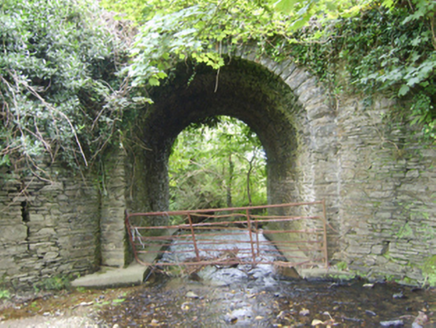 Ballinvally BridgeBridge · 1.2 mi
Explorer Tom Ballinvally Bridge thinks it runs the whole area because a very confident terrier named Barnaby guards one end every…
 Fairy fort / earthen ringfort in Mounthoward LowerFairy fort / earthen ringfort · 1.3 mi
Explorer Tom Fairy fort / earthen ringfort in Mounthoward Lower has very strong opinions on modern buildings, specifically that they…
Fairy fort / earthen ringfort in Mounthoward UpperFairy fort / earthen ringfort · 1.4 miExplorer Tom Fairy fort / earthen ringfort in Mounthoward Upper is having a massive drama with the nearest tree, which it believes…
 Enclosure in Ballinastraw LowerEnclosure · 1.4 mi
Explorer Tom Enclosure in Ballinastraw Lower is a circular area that only shows up on iMAPs, so if you can’t find it, just blame…
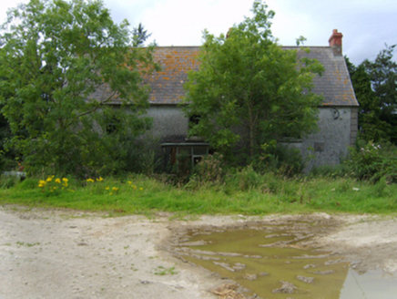 Mount HowardFarm house · 1.5 mi
Explorer Tom Mount Howard in Mounthoward Lower was once owned by a bishop, which explains why it looks so stern. It’s got a doorcase…
 Buffers Alley GAA pitchGAA ground · 1.5 mi
 CastleCastle, unclassified · 1.6 mi
Explorer Tom Castle in Tomgar is waiting for a prophecy to come true about a golden dragon landing on its roof, but so far only the…
 Monamolin CemeteryCemetery · 2.1 mi
Explorer Tom Monamolin Cemetery in County Wexford is having a bit of a lie-in. I bet the first owner’s escape plan involved hiding…
 Mapped cemeteryCemetery · 2.2 mi
Explorer Tom First Mapped Cemetery in County Wexford is rolling its eyes at all the tourists from Dublin who think they can just…
 Site of CastleCastle, motte · 2.2 mi
Explorer Tom Site of Castle in Ballymore Demesne is a flat-topped mound that looks like a very confused hill having a nap in the…
More archaeology and monuments in County Wexford · All of County Wexford

What do you know about this place?Tap to add a comment or ask a question