What is recorded here
Located at the crest of a NE-facing slope. The cropmark of a subcircular enclosure (dims c. 50m E-W; c. 42m N-S) defined by a fosse feature SW-N-E is visible only on Google Earth (14/07/2018). The perimeter is truncated slightly by a NE-SW field boundary at SE and also be a NW-SE field bank at SW, but a section of the fosse (L c. 15m) can be seen at S between the two field banks. It was first reported by Jean Charles Caillère.
See the attached view from Google Earth
Compiled by: Michael Moore
Date of upload: 18 September 2019
The monument record does not grant public access. Check the route and ask the landowner before entering private land.
- What survives
- Recorded monument
Places near here
 Ritual siteRitual site, holy/saint's stone · 717 yd
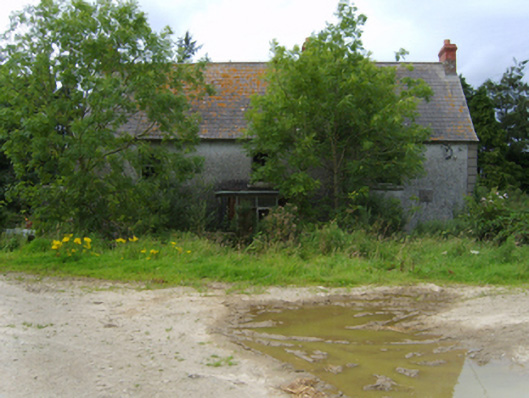 Mount Howardfarm house · 749 yd
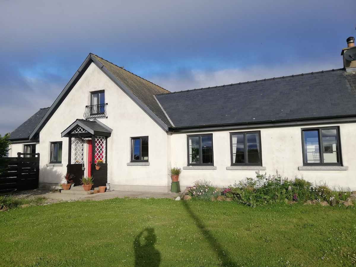 Not indicaetdFairy fort / earthen ringfort · 1507 yd
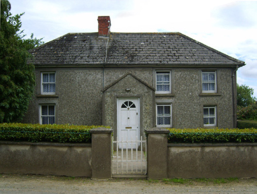 farm housefarm house · 1.1 mi
 Carrigroe HillMountain / peak · 1.6 mi
 Boley HillMountain / peak · 1.9 mi
 Giants BedNamed rock · 2.0 mi
 The CoilWood · 2.2 mi
 The GroveWood · 2.3 mi
 Father Murphy CentreHeritage attraction · 2.8 mi
 Bird BoxesVisitor information · 3.2 mi
 Birds of PreyVisitor information · 3.3 mi