What is recorded here
On a low rise on a W-facing slope. Circular grass-covered platform (diam. 24.5m E-W; 23m N-S; H 1.2m) defined by a wide fosse (Wth. of top 7-8.5m; Wth of base 2-3.5m) and an outer bank (Wth. 3.8m at S to 5.6m at E; int. H 1m at S to 1.5m at E; ext. H 0.85m at N to 1.1m generally). There is no visible entrance (max. ext. diam. 48m N-S; 50m E-W).
See the attached wide-angle view taken from the SW.
Compiled by: Michael Moore
Date of upload: 24 August 2010
Embanked enclosure; date uncertain but likely prehistoric. Its construction suggests a ceremonial or defensive function, typical of later prehistoric enclosures in Ireland.
The monument record does not grant public access. Check the route and ask the landowner before entering private land.
- What survives
- Recorded monument
Places near here
 IndicatedField system · 1406 yd
 Enclosure in Keeloges (boyle By.)Enclosure · 1453 yd
 R. C. ChapelChurch · 1.3 mi
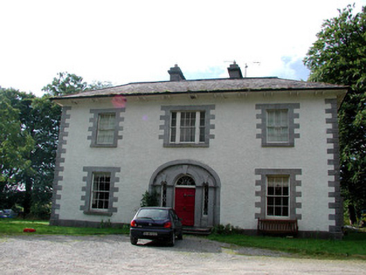 Carrigard Househouse · 1.3 mi
 Moylung Castle (in ruins)Castle, unclassified · 1.5 mi
 Boyle AbbeyHeritage attraction · 2.0 mi
 King William MemorialMonument · 2.0 mi
 Lough Key Forest ParkWood · 2.3 mi
 Erris BayBay · 2.4 mi
 Bingham IslandIslet · 2.7 mi
 Western RedcedarWestern Redcedar · 2.8 mi
 Horse-chestnutHorse-chestnut · 2.8 mi