What is recorded here
Located on a little hill at the N end of Main Street in Carrickmacross. A circular embanked enclosure is depicted on the 1834 edition of the OS 6-inch map with what is described as an ‘Old Windmill’ at its centre on the 1834 edition of the OS 6-inch map. This is a raised subcircular grass-covered area (dims 45.3m E-W; 40.3m N-S) defined by a scarp (at E: Wth 1.2m; H 1.45m). It may have been a rath or might have been constructed for the windmill. A circular masonry windmill (int. diam. 3.9m) with strong, slightly battered walls (T 1.05m) is off-centre on the mound. It has three storeys with rebates for the upper floors, and there are doorways at E and W at the ground level. It has lights facing E, S and W at the first floor. The windmill dates from c. 1750.
The above description is derived from the published 'Archaeological Inventory of County Monaghan' (Dublin: Stationery Office, 1986). In certain instances the entries have been revised and updated in the light of recent research.
Date of revision: 28 July 2017
A local fairy fort (ringfort/rath); wider significance not recorded.
The monument record does not grant public access. Check the route and ask the landowner before entering private land.
- What survives
- Recorded monument
Places near here
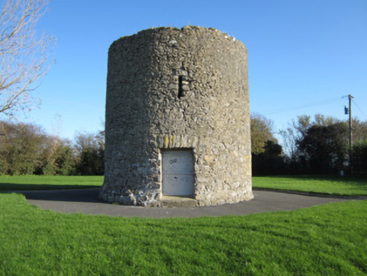 Gallows Hill Windmillmill (wind) · 14 yd
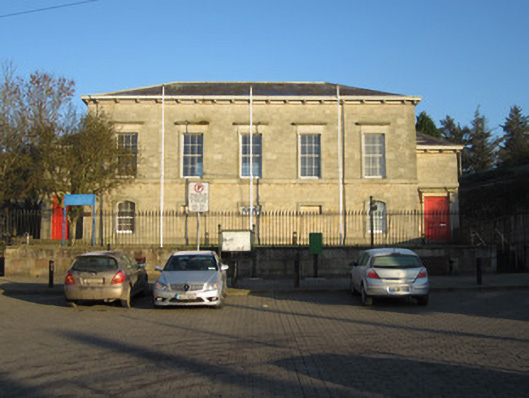 Carrickmacross Courthousecourt house · 86 yd
 Tober InverHoly well · 752 yd
 CrossCross, Churchyard cross · 867 yd
 Horse-chestnutHorse-chestnut · 1030 yd
 European BeechEuropean Beech · 1.1 mi
 Mannan Castle (in ruins)Castle, Anglo-Norman masonry castle · 2.3 mi
 TobernagalliaghSpring · 3.0 mi
 Drumerlough MoreMountain / peak · 4.4 mi
 Flat cemetery in AnnaheanFlat cemetery · 4.7 mi
 BarleyhillMountain / peak · 5.1 mi
 Natural Play AreaMemorial · 5.1 mi
Other information
Photo: Credit not shown in the picture search · Rights wording not checked; contact us if this picture should be removed