What is recorded here
Situated at the crest of the S-facing slope of a N-S spur of Tower Hill, overlooking the valley of the W-E Clodiagh River c. 800m to the S. Circular scrub-covered area (diam. 25.7m N-S; 25.2m E-W) defined by an earth and stone bank (Wth 1.2-2.2m; int. H 0.3-0.7m; ext. H 1-1.2m) with a complete outer fosse (Wth 1-2m; D 0.3-0.6m). There is no visible entrance, but a N-S rib of bedrock runs through it towards the perimeter at W.
Situated at the crest of the S-facing slope of a N-S spur of Tower Hill, overlooking the valley of the W-E Clodiagh River c. 800m to the S. Circular scrub-covered area (diam. 25.7m N-S; 25.2m E-W) defined by an earth and stone bank (Wth 1.2-2.2m; int. H 0.3-0.7m; ext. H 1-1.2m) with a complete outer fosse (Wth 1-2m; D 0.3-0.6m). There is no visible entrance, but a N-S rib of bedrock runs through it towards the…
From the National Monuments Service (Archaeological Survey of Ireland) record WA008-003
The monument record does not grant public access. Check the route and ask the landowner before entering private land.
- What survives
- Recorded monument
Places near here
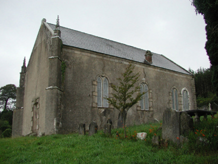 CurraghmoreChurch/chapel · 645 yd
 CurraghmoreGate lodge · 687 yd
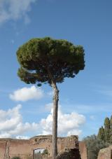 Maritime Pine1071 ydEnclosure in CurraghmoreEnclosure · 1114 ydEnclosure in CurraghmoreEnclosure · 1133 yd
 Curraghmore HouseCastle · 1261 yd
 Sitka Spruce1490 ydPortlaw Heritage CentreMuseum · 1.3 miTower HillMountain / peak · 1.6 mi
 CastleCastle, tower house · 4.3 mi
 Croughaun HillMountain / peak · 5.3 miWaterford & Suir Valley RailwayHeritage attraction · 5.4 mi
Pictures: National Inventory of Architectural Heritage; Livioandronico2013, Wikimedia Commons · CC BY-SA 4.0; MainlyTwelve, Wikimedia Commons · CC BY-SA 4.0; Wsiegmund, Wikimedia Commons · CC BY 2.5; ethics girl, Geograph · CC BY-SA 2.0; Peter Taylor, Wikimedia Commons · CC BY-SA 2.0
More archaeology and monuments in County Waterford · All of County Waterford
What do you know about this place?