
What is recorded here
Visible as a cropmark on vertical aerial photographs (GSIAP, S 704-3), and situated ath the crest of the SE facing slope of a NE-SW spur of the foothills SW of Tower Hill. This is a slightly raised, grass-covered circular area (diam. 41.5m N-S; 41.5m E-W) defined by a slight scarp (H 0.2-0.5m), with traces of a fosse at N. The entrance is visible as a slight dip (Wth 4m) in the perimeter at SSE. Enclosure (WA008-046----) is c. 100m to the N.
The above description is derived from the published 'Archaeological Inventory of County Waterford' (Dublin: Stationery Office, 1999). In certain instances the entries have been revised and updated in the light of recent research.
Date of upload/revision: 27th July, 2010.
The monument record does not grant public access. Check the route and ask the landowner before entering private land.
- What survives
- Recorded monument
Places near here
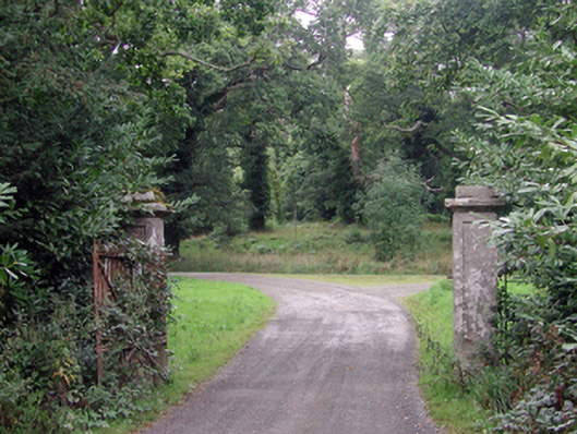 Curraghmoregates/railings/walls · 258 yd
 Curraghmore HouseCastle · 708 yd
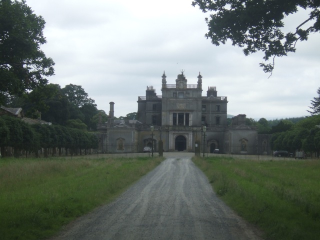 Curraghmore Ho.House, 17th century · 720 yd
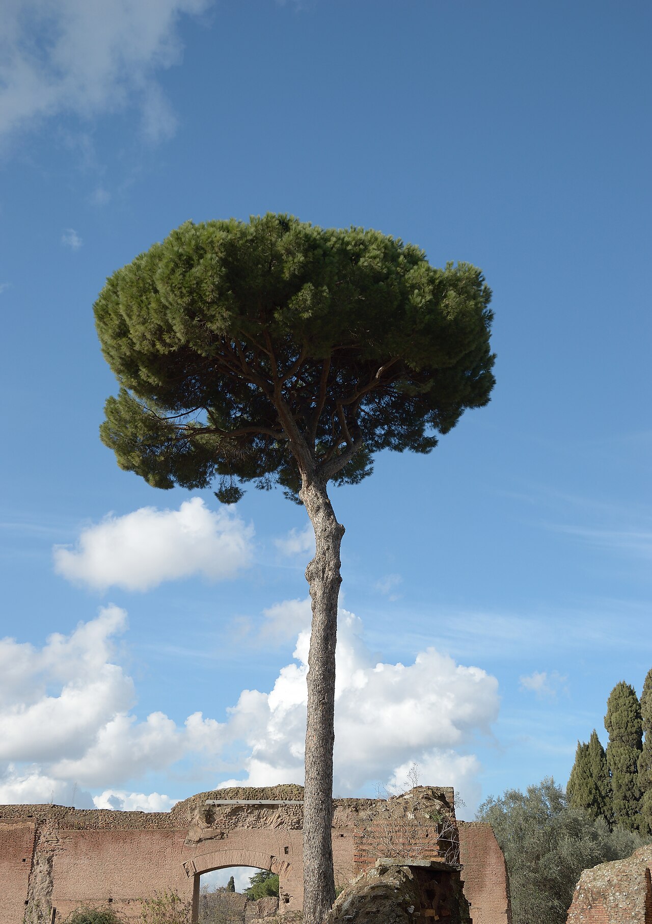 Maritime PineMaritime Pine · 1002 yd
 Sitka SpruceSitka Spruce · 1047 yd
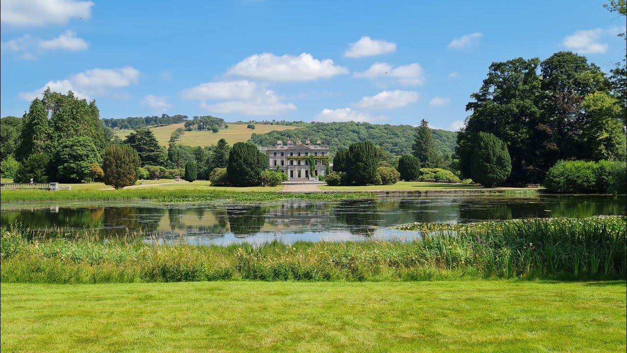 Embanked enclosureFairy fort / earthen ringfort · 1133 yd
 Enclosure in GuilcaghEnclosure · 1.1 mi
 Tower HillMountain / peak · 1.7 mi
 Portlaw Heritage CentreMuseum · 1.9 mi
 Donnell's HillMountain / peak · 2.2 mi
 Rockets Castle (in ruins)Castle, tower house · 2.7 mi
 Waterford & Suir Valley RailwayHeritage attraction · 5.9 mi
Other information
Photo: Credit not shown in the picture search · Rights wording not checked; contact us if this picture should be removed