What is recorded here
Within the promontory fort (RO044-078003-) on the E bank of a N-S section of the river Suck, which is c. 100-150m to the W, and incorporated into the E bank of the outlet channel from the fosse of rath (RO044-078002-) at the junction with the fosse proper. This is a flat-topped subrectangular grass-covered platform (dims of top 8.6m ENE-WSW; 6.6m NNW-SSE; dims of base 14.6m ENE-WSW; 13.6m NNW-SSE; H 1.8-2.3m) with slight traces of a fosse or silted ditch (Wth of base 1.5-2m; D 0.1-0.3m) on its N and E sides.
Compiled by: Michael Moore
Date of upload: 24 August 2010
Embanked enclosure, Creeharmore is likely a prehistoric defensive or ritual structure, potentially dating to the Bronze Age. Its association with a promontory fort and rath suggests it may have had a strategic or ceremonial role in the landscape.
The monument record does not grant public access. Check the route and ask the landowner before entering private land.
- What survives
- Recorded monument
Places near here
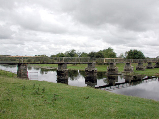 foot bridgefoot bridge · 1.1 mi
 LiscreevaghFairy fort / earthen ringfort · 1.2 mi
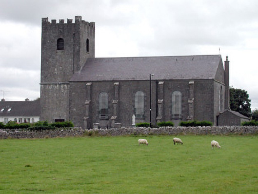 Saint Joseph's Catholic Churchchurch/chapel · 1.4 mi
 Ecclesiastical enclosure in TaghboyEcclesiastical enclosure · 1.4 mi
 Inch IslandIsland · 2.3 mi
 Site of Ballygar CastleArchaeological place · 3.3 mi
 Inchnaveague IslandIslet · 3.9 mi
 Tower (in Ruins)Castle, tower house · 3.9 mi
 Aughrane WoodsForest · 4.1 mi
 European Crab AppleEuropean Crab Apple · 5.2 mi
 Mount MaryMountain / peak · 7.2 mi
 Kilconnell AbbeyHeritage attraction · 12 mi