What is recorded here
Just inside the entrance of the promontory fort (RO044-078003-) which is at the NW end of a low NW-SE ridge, and c. 130-170m from a N-S section of river Suck. Raised subcircular grass-covered platform (dims of top 26m NW-SE; 21m NE-SW; H 2.5-2.7m) surrounded by a flat-bottomed fosse (Wth of top 8.7-9m; Wth of base 3.4m; D 1.1m) with bushes, and an outer bank (Wth 4.5m; max. H 0.7m) S-W-NE. There is a house-site (RO044-078004-) visible as a stone-lined depression (int. dims c. 3m NNE-SSW; c. 1.5m WNW-ESE) on the summit. A slightly raised rectangular enclosure or annexe (RO044-078005-) (dims 8m NW-SE; 7m NE-SW) defined by a scarp (H 0.2m) is attached to the NW. At NNW the fosse has an outlet channel running NW (L 43m; Wth of base 1.5m at S to 8.5m at N) defined by earthen banks (Wth 5-6.4m; int. H 1.8m; ext. H 0.7m) on either side, that at W truncating the enclosure or annexe. The mound (RO044-078001-) is incorporated in the E outlet bank at the junction with the fosse.
See the attached aerial image taken from the NW
Compiled by: Michael Moore
Date of upload: 24 August 2010
The monument record does not grant public access. Check the route and ask the landowner before entering private land.
- What survives
- Recorded monument
Places near here
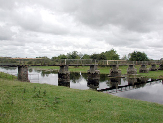 foot bridgefoot bridge · 1.1 mi
 LiscreevaghFairy fort / earthen ringfort · 1.2 mi
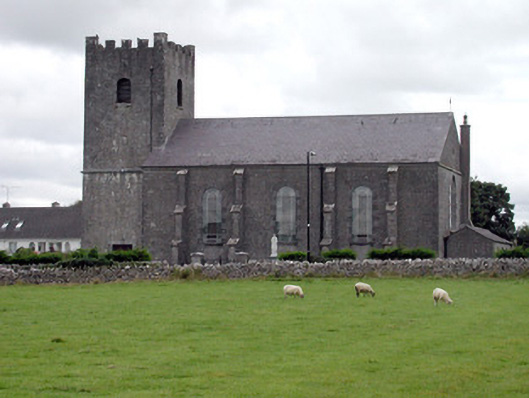 Saint Joseph's Catholic Churchchurch/chapel · 1.3 mi
 Ecclesiastical enclosure in TaghboyEcclesiastical enclosure · 1.4 mi
 Inch IslandIsland · 2.3 mi
 Site of Ballygar CastleArchaeological place · 3.3 mi
 Inchnaveague IslandIslet · 3.9 mi
 Tower (in Ruins)Castle, tower house · 3.9 mi
 Aughrane WoodsForest · 4.1 mi
 European Crab AppleEuropean Crab Apple · 5.2 mi
 Mount MaryMountain / peak · 7.2 mi
 Kilconnell AbbeyHeritage attraction · 12 mi