
What is recorded here
Situated on the shoulder of a NNE-facing slope of a SE-NW spur, it is described as 'Liscreevagh' on the OS 6-inch maps. This is an oval grass-covered platform (dims 45m NNW-SSE; 35.3m ENE-WSW) defined by an earthen bank (Wth 6-7m; int. H 0.65m; ext. H 1.9-2.2m), which is frequently reduced to a scarp (H 1.9m). This is separated by a flat-bottomed fosse (Wth of top 7.7-8.5m; Wth of base 1-2.2m; D 0.9-1.65m) from an outer bank (Wth 4.5-5.2m; ext. H 0.4m), which is overlain WNW-N and slightly truncated NE-E by field walls. The entrance (Wth 2.2m) and causeway (Wth 3m) are at NNE. There ar four small earth and stone mounds in the interior and three fragments of rotary quernstones (RO047-003002-) have been found on the monument. The perimeter is quarried at NE and SE-SSW.
See the attached aerial image taken from the NW
Compiled by: Michael Moore
Date of upload: 24 August 2010
A local fairy fort (ringfort/rath); wider significance not recorded.
The monument record does not grant public access. Check the route and ask the landowner before entering private land.
- What survives
- Recorded monument
Places near here
 LissaphucaFairy fort / earthen ringfort · 1022 yd
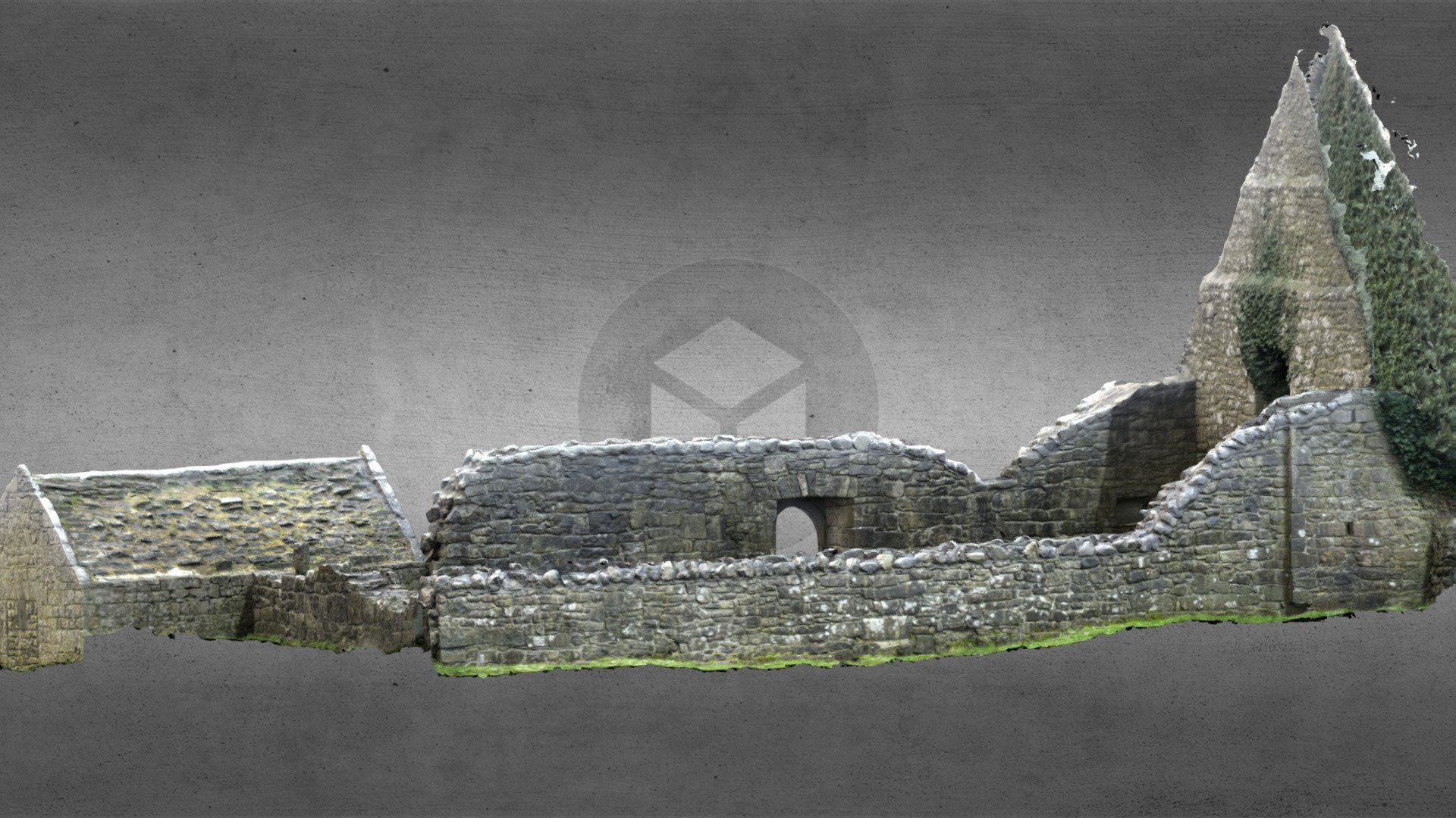 Church (in Ruins)Church · 1676 yd
 Ecclesiastical enclosure in TaghboyEcclesiastical enclosure · 1685 yd
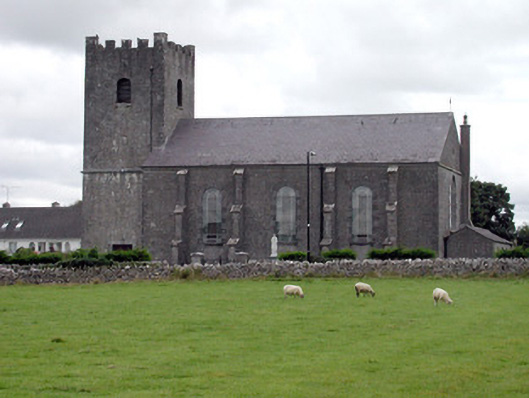 Saint Joseph's Catholic Churchchurch/chapel · 1.1 mi
 Inch IslandIsland · 1.9 mi
 Inchnaveague IslandIslet · 2.9 mi
 CastleCastle, unclassified · 3.3 mi
 Site of Ballygar CastleArchaeological place · 4.4 mi
 Aughrane WoodsForest · 5.1 mi
 Sheep HillMountain / peak · 6.1 mi
 LismoneyForest · 6.2 mi
 Mount MaryMountain / peak · 8.2 mi
Other information
Photo: Credit not shown in the picture search · Rights wording not checked; contact us if this picture should be removed