What is recorded here
Embanked enclosure is a barrow, pond barrow in Corskeagh (frenchpark By.), County Roscommon, Ireland. The subcircular dished area sits at the east end of a broad ridge, defined by a grass-covered bank roughly twenty-seven metres across. A field bank and drains now overlay the northwest perimeter, while a water-tower stands on the west edge. No visible entrance remains, leaving the possibility that the site is a small pingo or a dry natural pond rather than a built structure.
At the E end of a broad E-W ridge. Subcircular grass and rush-covered dished area (int. diam. 27.5 NE-SW; 23.7m NW-SE) defined by a grass-covered bank (Wth 10.5-11.3m; int. H 0.7-0.9m; ext. H 0.4-0.7m). The perimeter at NW is overlain by a NE-SW field bank and drains, and a water-tower has been built on the perimeter at W (max. ext. diam. 50m NE-SW). There is no visible entrance, and it may be a small pingo or a natural pond that is now dry.
Compiled by: Michael Moore
Date of upload: 24 August 2010
Embanked enclosure; date uncertain but likely Bronze Age. Its significance lies in its rare and well-preserved form, offering insights into early territorial or ritual landscape use.
The monument record does not grant public access. Check the route and ask the landowner before entering private land.
- What survives
- Recorded monument
Places near here
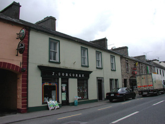 J. Corcoranhouse · 299 yd
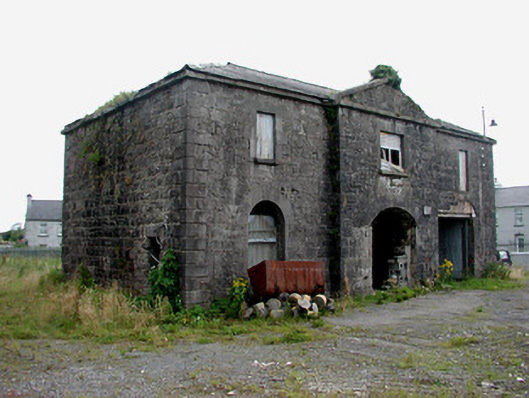 Frenchpark Market Housemarket house · 319 yd
 Not inidicatedFairy fort / earthen ringfort · 753 yd
 Stone CrossCross, High cross · 911 yd
 Frenchpark Ho.Castle, unclassified · 1164 yd
 Gray's WoodForest · 1.4 mi
 Square WoodForest · 1.5 mi
 IndicatedBawn · 2.2 mi
 Bawn IslandIslet · 3.5 mi
 Fairymount HillMountain / peak · 3.7 mi
 Rose PointHeadland · 4.9 mi
 Castle PointHeadland · 5.7 mi