
What is recorded here
Frenchpark Ho. stands where Dungar castle once held the MacDermot Gall, Lords of Airtech, before the French family took the land and built a seven-bay brick house in 1667. Richard Castle may have designed its curving collenades around 1729, joining wings into a grand demesne that reflected merchant confidence rather than old noble pride. The house was pulled down in the 1950s, erasing its rooms but leaving behind a landscape shaped by centuries of competing claims.
Dungar was a centre of the MacDermot Gall, Lords of Airtech and descendents of Dermot Gall who was king of Moylurg (1315-6) (Mac Dermot 1996, 77-8), and probably from the beginning of the 14th century. They went into decline in the 16th century, and in 1565 Brian Mac Dermot of the Rock built or re-built a fort here for his son Rory with the consent of Mac Dermot Gall (ibid. 298-9, 449). The castle of Dungar was owned by Brian Mac Rory in 1641 (Simington 1949, 164) and was probably situated on the level landscape at the site of Frenchpark House.
The French family were Galway merchants who began to acquire property at Dungar from the early 17th century. A house was built in 1667, according to dates on the later pediment of a brick house of seven bays and three storeys (Hayward 1955, 212). Wings of five bays by four and two storeys, connected to the main house by curving collenades were added c. 1729, probably to a design of Richard Castle who had also designed Strokestown House (RO023-172002-). The house was pulled down in the 1950s. (de Breffny and ffolliott 1975, 105-6; Bence-Jones 1978, 128)
Compiled by: Michael Moore
Date of upload: 24 August 2010
The castle was held by the MacDermot Gall, Lords of Airtech, a lineage descending from Dermot Gall, King of Moylurg in the mid-14th century. It is important as a historical seat of a significant Gaelic lordship in the region.
The monument record does not grant public access. Check the route and ask the landowner before entering private land.
- What survives
- Recorded monument
Places near here
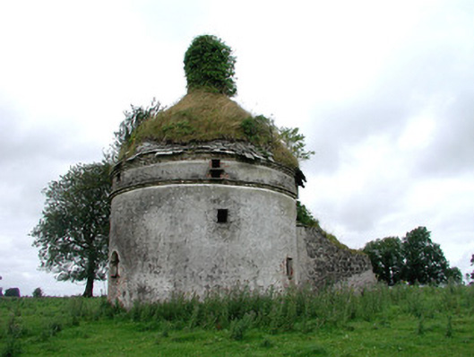 Frenchpark Housebuilding misc · 172 yd
 Embanked enclosureFairy fort / earthen ringfort · 768 yd
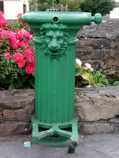 water pumpwater pump · 831 yd
 Gray's WoodForest · 1583 yd
 Square WoodForest · 1621 yd
 Enclosure in CloonshanvilleEnclosure · 1680 yd
 CastleBawn · 2.7 mi
 Bawn IslandIslet · 2.8 mi
 GortnacushlaunCastle, unclassified · 3.1 mi
 Fairymount HillMountain / peak · 3.7 mi
 Rose PointHeadland · 4.3 mi
 Castle PointHeadland · 5.1 mi
Other information
Photo: Credit not shown in the picture search · Rights wording not checked; contact us if this picture should be removed