What is recorded here
A Mac Dermot Gall centre probably from the late 14th century, the castle was burnt by O'Donnell in 1527 (Ann Conn, 665). By 1580 it had been acquired by William Clifford whose family retained it into the 1650s when the land passed to the French and King families. Callow castle was burned in 1596 by Irish rebels. (Mac Dermot 1996, 381-2; 449; O'Conor, 2007, 197-8). Known as Caladh Lochae Deichet, Caislead an Chalaidh or Carrickbeg, and locally as 'Babhdhun a Chaluidh' in the mid-19th century according to J. O'Donovan when it was thought to have been owned by Drury (O'Flanagan 1933, 112). Situated on flat ground c. 130m from the present S shore of Callow Lough, although at one time it was at the shore (OS 1837 6-inch map). It is a rectangular grass-covered area (dims 77m E-W; 60m N-S) defined by a wall (T 0.6m; max. int. H 1.1m) at W and fragments of a similar wall at E which has the remains of a tower at the SE angle. The outer flat-bottomed fosse at W (Wth of top 9m; D 0.5m) and S (Wth of top 8-9m; D 1.25m) is represented by a band of rushes (Wth 5m) at E, and a low scarp (H 0.6m) at N. A causeway (Wth 4m) crosses the fosse at S, and the E and W walls are now incorporated in N-S field walls. The grass-covered foundations (Wth 1m; H 0.2m) of a house (RO009-030001-) (int. dims 4.8m E-W; 4.5m N-S) are at the N edge of the interior, and the grass-covered foundations (Wth 0.5m) of another structure (RO009-030002-) (int. dims 2.5m x 2.5m) are at the centre. The rectangular enclosure (RO009-029----) is c. 150m to the W.
A Mac Dermot Gall centre probably from the late 14th century, the castle was burnt by O'Donnell in 1527 (Ann Conn, 665). By 1580 it had been acquired by William Clifford whose family retained it into the 1650s when the land passed to the French and King families. Callow castle was burned in 1596 by Irish rebels. (Mac Dermot 1996, 381-2; 449; O'Conor, 2007, 197-8). Known as Caladh Lochae Deichet, Caislead an…
From the National Monuments Service (Archaeological Survey of Ireland) record RO009-030001
The monument record does not grant public access. Check the route and ask the landowner before entering private land.
- What survives
- Recorded monument
Places near here
Enclosure in DowerEnclosure · 231 ydBawn IslandIslet · 273 ydRose PointHeadland · 1.8 miSquare WoodForest · 2.1 miGray's WoodForest · 2.3 miCastle PointHeadland · 2.5 mi Frenchpark HouseBuilding misc · 2.6 miInch IslandIslet · 2.7 miSaint Baoithín's Catholic ChurchChurch/chapel · 3.1 miToberaraghtHoly well · 3.4 miMoygara CastleCastle · 4.4 miMoygara Castle (in Ruins)Bawn · 4.4 mi
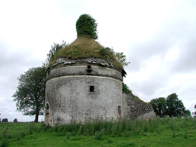 Frenchpark HouseBuilding misc · 2.6 miInch IslandIslet · 2.7 mi
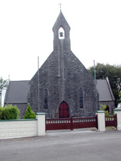 Saint Baoithín's Catholic ChurchChurch/chapel · 3.1 mi
 ToberaraghtHoly well · 3.4 mi
_-_geograph.org.uk_-_4073628.jpg/250px-Castles_of_Connacht,_Moygara,_Sligo_(1)_-_geograph.org.uk_-_4073628.jpg "Photo: Mike Searle, Wikimedia Commons · CC BY-SA 2.0") Moygara CastleCastle · 4.4 mi
Moygara CastleCastle · 4.4 mi_-_geograph.org.uk_-_4073636.jpg/250px-Castles_of_Connacht,_Moygara,_Sligo_(2)_-_geograph.org.uk_-_4073636.jpg "Photo: Mike Searle, Wikimedia Commons · CC BY-SA 2.0") Moygara Castle (in Ruins)Bawn · 4.4 mi
Moygara Castle (in Ruins)Bawn · 4.4 miPictures: National Inventory of Architectural Heritage; Aiden Clarke, Wikimedia Commons · CC BY-SA 2.0; Mike Searle, Wikimedia Commons · CC BY-SA 2.0
More castles and forts in County Roscommon · All of County Roscommon
What do you know about this place?