What is recorded here
On a gentle NE-facing slope. Circular grass-covered area (diam. 30m N-S) defined by an eroded earthen bank (Wth 3.5m; int. H 0.2-0.3m; ext. H 0.3-0.5m). There is no visible fosse or identifiable original entrance. Archaeological testing (E005073) in advance of the N5 Ballaghderreen to Sramoge road during 2019 identified an undated fire spot as a circular area (dims c. 1.1m x 0.8m; T 0.02m) located c. 40m to the E of the rath (Ó Maoldúin 2019; excavations.ie: 2109:460).
Compiled by: Michael Moore
Date of upload: 24 August 2010
Amended: 28 October 2020
The monument record does not grant public access. Check the route and ask the landowner before entering private land.
- What survives
- Recorded monument
Places near here
 Enclosure in ScramogeEnclosure · 667 yd
 Enclosure in CloonrabrackanEnclosure · 959 yd
 Church (in Ruins)Church · 1413 yd
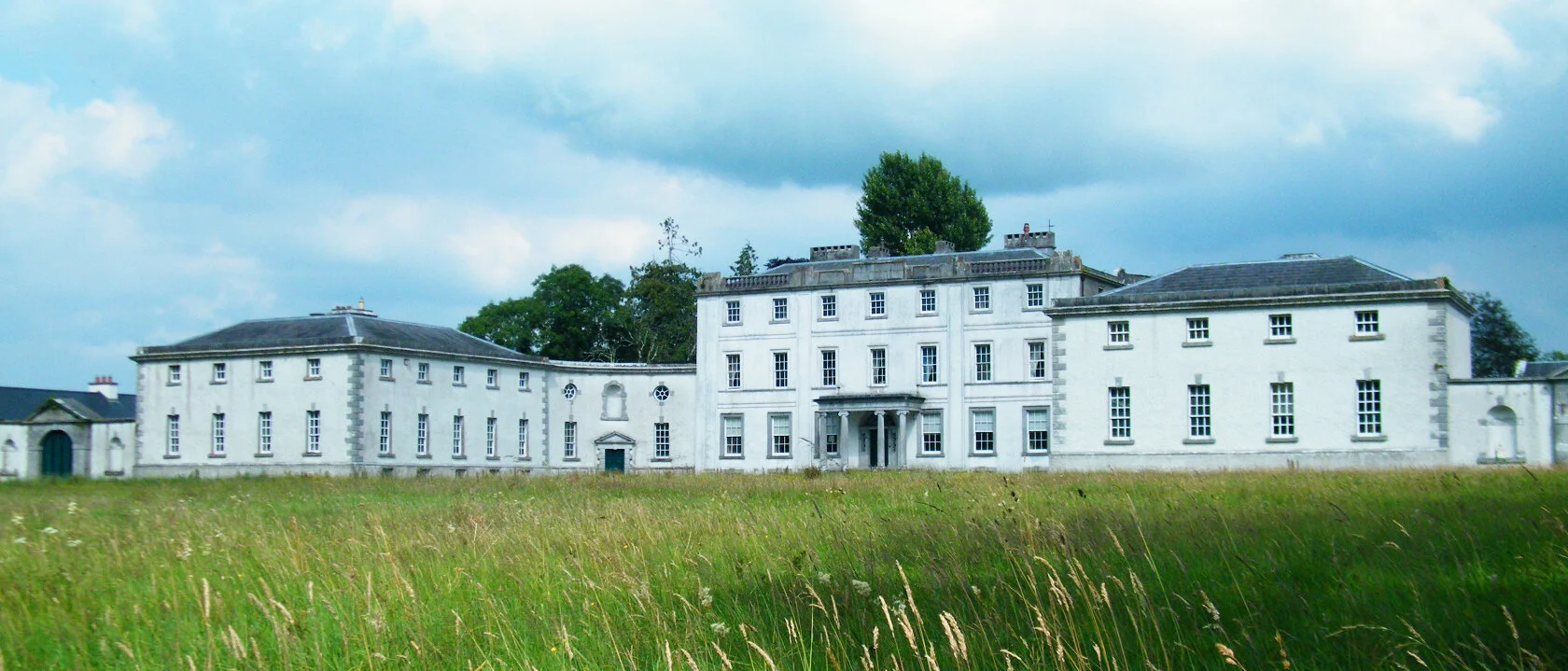
 Strokestown ParkHeritage attraction · 1526 yd
 Urney ChurchChurch · 1600 yd
 Strokestown House GardensHeritage attraction · 1.1 mi
 Common LimeCommon Lime · 1.2 mi
 Pedunculate OakPedunculate Oak · 1.3 mi
 CastleCastle, unclassified · 1.9 mi
 Slieve BawnMountain / peak · 3.6 mi
 Leitrim CastleCastle, unclassified · 5.5 mi
 Commons North WalkVisitor information · 7.7 mi