
What is recorded here
First identified in an unpublished archaeological LiDAR report (Davis, 2015) commissioned by Roscommon County Council as part of the Environmental Impact Assessment for the N5 Ballaghaderreen - Scramoge road development. It is located in mature meadow grass at the bottom of a slight S-facing slope. Although the LiDAR image (ibid. 189, 74, 2) depicts a circular enclosure (diam. c. 35-40m) defined by a bank feature that is overlain by an NW-SE field bank towards the perimeter at SW with mixed woodland beyond this feature, an antiquity cannot be confirmed by field inspection.
Compiled by: Michael Moore
Date of revised upload: 8 August, 2016
The monument record does not grant public access. Check the route and ask the landowner before entering private land.
- What survives
- Recorded monument
Places near here
 IndicatedFairy fort / earthen ringfort · 1258 yd
 Enclosure in ScramogeEnclosure · 1308 yd
 Urney ChurchChurch · 1326 yd
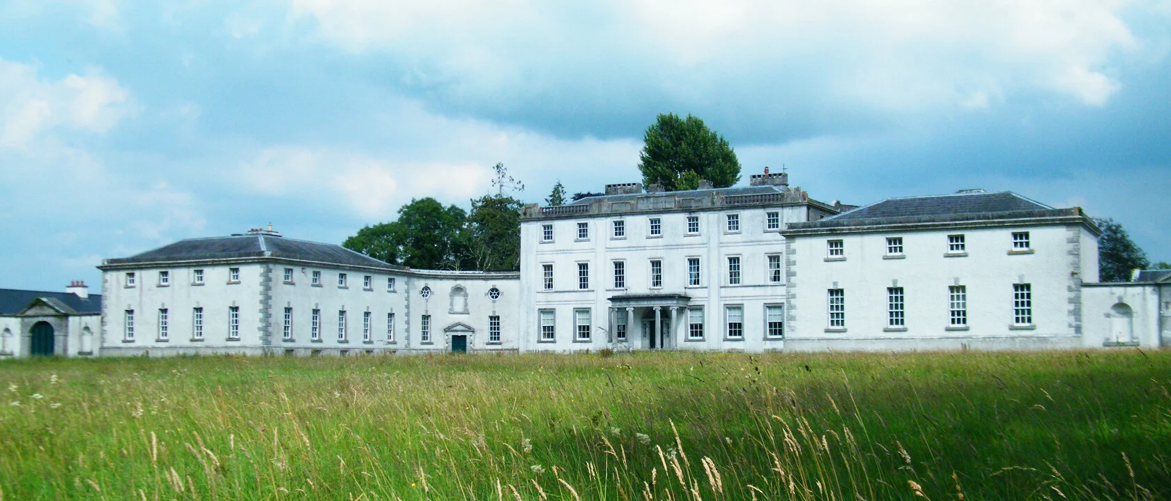
 Strokestown ParkHeritage attraction · 1375 yd
 Strokestown House GardensHeritage attraction · 1.1 mi
 Pedunculate OakPedunculate Oak · 1.1 mi
 Strokestown Park Housestables · 1.1 mi
 Common LimeCommon Lime · 1.2 mi
 CastleCastle, unclassified · 2.0 mi
 Slieve BawnMountain / peak · 4.2 mi
 Goat IslandIslet · 5.1 mi
 Leitrim CastleCastle, unclassified · 5.8 mi
Other information
Photo: Credit not shown in the picture search · Rights wording not checked; contact us if this picture should be removed