
What is recorded here
From the National Monuments Service (Archaeological Survey of Ireland) record WA018-013001
Places near here
Photo credits
- Maker not stated on source page, www.pinterest.com
- National Inventory of Architectural Heritage
- Maker not stated on source page, www.rte.ie
- Maker not stated on source page, www.dreamstime.com
- Golfing in Ireland; photographer not stated, Source publisher
- Maker not stated on source page, en.wikipedia.org
- Maker not stated on source page, storage.googleapis.com
 CastleHouse, 16th/17th century · 878 yd
Explorer Tom Castle in Ballygunnercastle, County Waterford claims there's a secret tunnel straight to the local pub for thirsty…
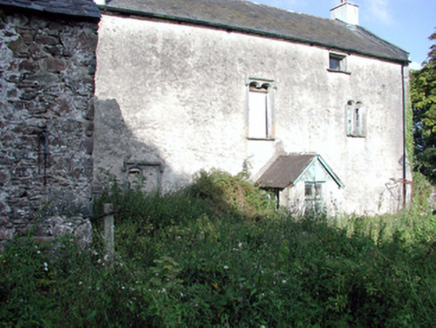 Ballygunner CastleHouse · 878 yd
Explorer Tom Ballygunner Castle isn’t really a castle, it’s just a house with an identity crisis and a medieval backstory. It claims…
 James McGinn Park, BallygunnerGAA ground · 1143 yd
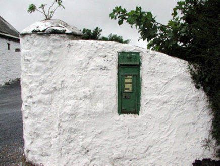 Historic buildingOfficially recorded historic building · 1260 yd
Explorer Tom This historic building in Callaghane hates visitors who touch the royal cipher, claiming they leave fingerprints on the…
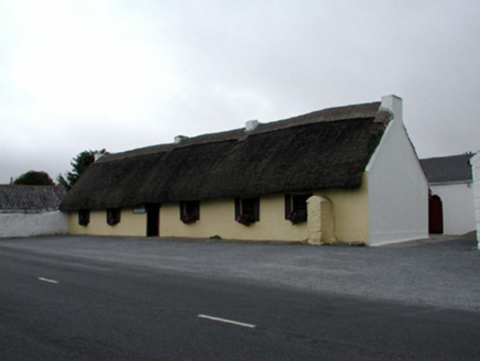 M. KennedyHouse · 1272 yd
Explorer Tom M. Kennedy in Callaghane is a vernacular gem with outbuildings on either side, looking like a sandwich where the bread…
 St. Mary's CemeteryCemetery · 1291 yd
Explorer Tom St. Mary's Cemetery has been hiding a scandal where someone buried a whole wheelbarrow of gold coins under the oldest…
 Ballygunnertemple GraveyardGraveyard · 1327 yd
Explorer Tom Ballygunnertemple Graveyard has a tall tale about a hidden tunnel straight to the local pub. The dead probably use it…
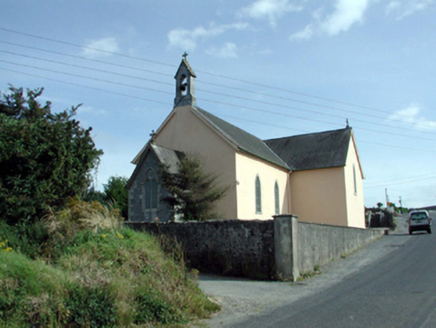 Saint Mary's Catholic ChurchChurch/chapel · 1363 yd
Explorer Tom Saint Mary's Catholic Church (Knockboy) has an escape plan involving its spire, which is currently pretending to point…
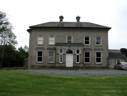 Brook LodgeHouse · 1.1 mi
Explorer Tom Brook Lodge in Cross Kilmacomb Par. is dressed to the nines with an ornate porch and those fancy canted bay windows. It…
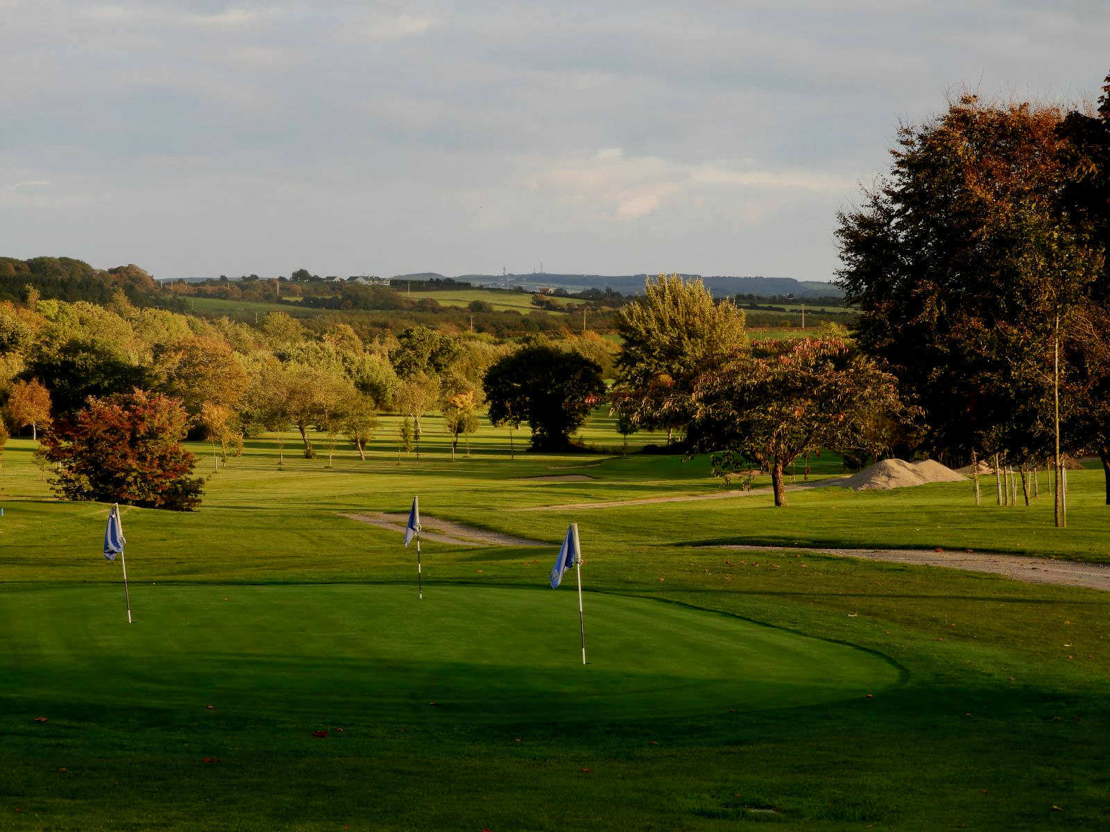 Williamstown Golf ClubGolf course · 1.3 mi
 Church (Site of)Church · 1.8 mi
Explorer Tom Church in Ballynakill is just a small graveyard now, sitting on the King's Channel bank where the church used to be…
 Fairy fort / earthen ringfort in Williamstown (gaultiere By.)Fairy fort / earthen ringfort · 2.1 mi
Explorer Tom Fairy fort in Williamstown is guarded by one very stubborn bird who refuses to leave despite the road works and all the…
More archaeology and monuments in County Waterford · All of County Waterford

What do you know about this place?Tap to add a comment or ask a question