What is recorded here
Situated on top of Ballybuckley hill that rises from the E edge of a plateau between itself and Bree Hill c. 1.5km to the W and Carrig Hill c. 1km to the NW but with wide views to the E of the N-S River Slaney that is c. 2.7 km distant. This is a grass-covered area (diam. c. 140m N-S; c. 140m E-W) defined by an earthen bank (Wth 9-11m; int. H 0.6-1m; ext. H 1.4-2.2m). The bank is replaced by a stone-clad field bank NW-NE and there is an outer field bank NE-SSW, but there is no evidence of a fosse. There are modern entrances at NW, NE and S.
The above description is derived from the published 'Archaeological Inventory of County Wexford' (Dublin: Stationery Office, 1996). In certain instances the entries have been revised and updated in the light of recent research.
Compiled by: Michael Moore
Date of upload/revision: 2 July 2012
The monument record does not grant public access. Check the route and ask the landowner before entering private land.
- What survives
- Recorded monument
Places near here
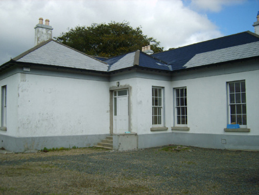 Clonmore Gleberectory/glebe/vicarage/curate's house · 142 yd
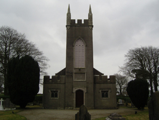 Saint John's Church (Clonmore)church/chapel · 337 yd
 Enclosure in BreeEnclosure · 576 yd
 Dick Joynt MemorialMemorial · 1131 yd
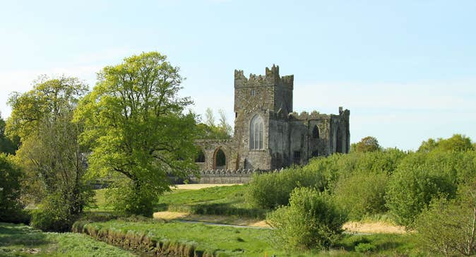 Burnt spread in Knockduff (shelmaliere West By., Bree Ed)Burnt spread · 1195 yd
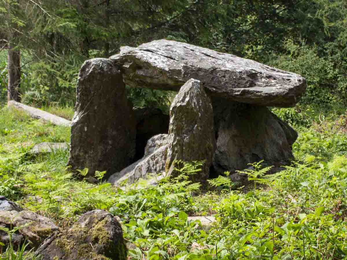 Bree HillMountain / peak · 1.0 mi
 Wilton Ho.Castle, unclassified · 1.1 mi
 King's IslandIsland · 1.8 mi
 CastleCastle, ringwork · 2.1 mi
 Raheennahoon HillMountain / peak · 3.0 mi
 National 1798 CentreMuseum · 3.9 mi
 Battle of Vinegar HillMajor battlefield · 4.2 mi