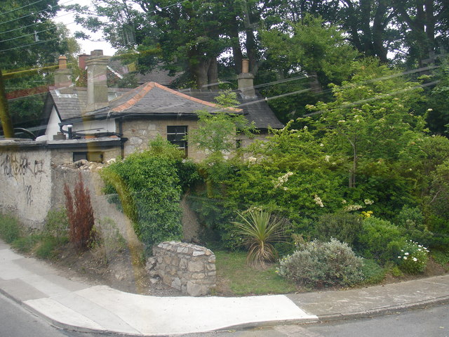
What is recorded here
Marked as an embanked enclosure (ext. diam. c. 65-70m) bisected by a NW-SE lane on the 1839 ed. of the OS 6-inch map, it is located towards the top of a NW-facing slope. This is a circular scrub-covered area (diam. 27m NE-SW) defined by the remains of a flat-bottomed fosse, best preserved E-SW (at SE: Wth of top 8m; Wth of base 2.5m; max. int. D 1.2m; ext. D 1.8m), with an outer bank (ext. H 0.8m) E-SE. The bank and fosse are truncated W-N by a NE-SW field bank. A rectangular scrub-covered annexe (dims. c. 30m N-S; c. 25m E-W) defined by a shallow fosse is attached to the S but this may be the remnant of a narrow field (dims c. 50m N-S; c. 20m E-W) marked on the earlier OS map. There is no evidence of the mapped lane.
The above description is derived from the published 'Archaeological Inventory of County Wexford' (Dublin: Stationery Office, 1996). In certain instances the entries have been revised and updated in the light of recent research.
Compiled by: Michael Moore
Date of upload/revision: 18 February, 2013
The monument record does not grant public access. Check the route and ask the landowner before entering private land.
- What survives
- Recorded monument
Places near here
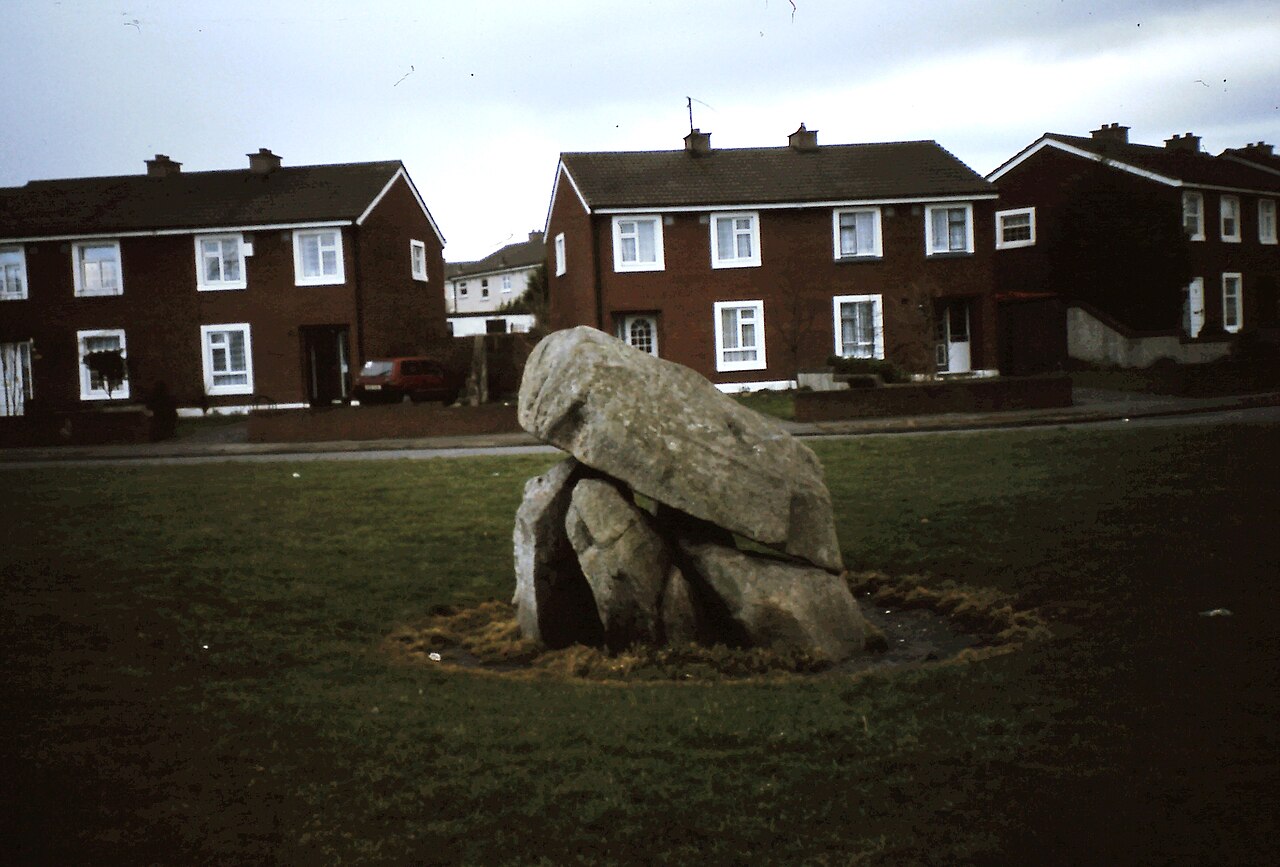 Enclosure in Ballybrack,loughnageerEnclosure · 195 yd
 MillMill, unclassified · 793 yd
 Site of St. Catherines ChapelChurch · 982 yd
 Saint Catherine's ChapelRuins · 986 yd
 Bryanstown Ho.Castle, tower house · 1580 yd
 Bawn in TaylorstownBawn · 1.4 mi
 Coolcliffe HouseRuins · 2.5 mi
 Lockheed Hudson AM885 MemorialMemorial · 2.6 mi
 1798Memorial · 4.4 mi
 Carrig-On-BannowVisitor information · 4.7 mi
 Bridges ChamberCave · 5.9 mi
 Blackhall StrandBeach / strand · 5.9 mi
Other information
Photo: Credit not shown in the picture search · Rights wording not checked; contact us if this picture should be removed