
What is recorded here
Marked faintly as a rectangular structure (dims c. 20m N-S: c. 8m E-W) and described as the site of St. Catherine’s Chapel on the 1839 ed. of the OS 6-inch map. John O'Donovan writing c. 1840 records the tradition of a church site dedicated to St Catherine (O'Flanagan 1933, vol. 2, 355). It is located at the S tip of a N-S spur. This is a neglected and scrub-covered triangular enclosure (dims c. 90m E-W; c. 80m N-S) with no visible remains of a church structure or burial at ground level. St Catherine's Well (WX040-039----) lies c. 430m to the ENE. (Murphy c. 1994, 17)
The above description is derived from the published 'Archaeological Inventory of County Wexford' (Dublin: Stationery Office, 1996). In certain instances the entries have been revised and updated in the light of recent research.
Compiled by: Michael Moore
Date of upload/revision: 20 February, 2013
The monument record does not grant public access. Check the route and ask the landowner before entering private land.
- What survives
- Recorded monument
Places near here
 Saint Catherine's ChapelRuins · 19 yd
 St. Catherines WellHoly well · 481 yd
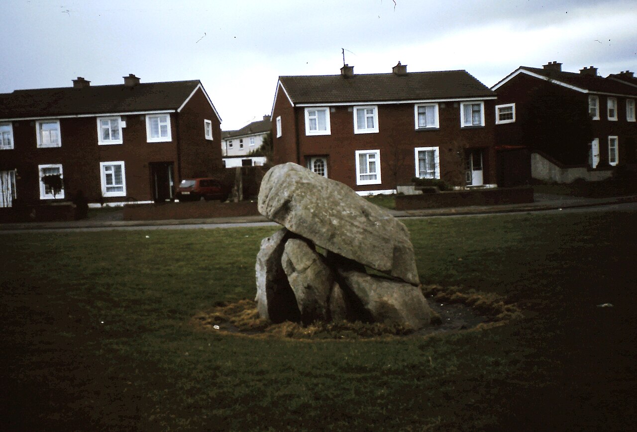 Enclosure in Ballybrack,loughnageerEnclosure · 925 yd
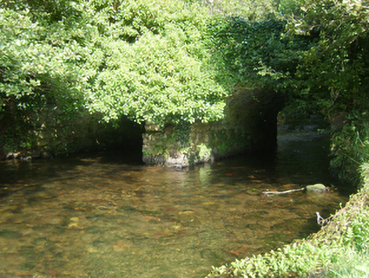 Taylorstown Bridgebridge · 1261 yd
 Bawn in TaylorstownBawn · 1622 yd
 Bryanstown Ho.Castle, tower house · 1.5 mi
 Lockheed Hudson AM885 MemorialMemorial · 2.3 mi
 Coolcliffe HouseRuins · 2.4 mi
 1798Memorial · 4.0 mi
 Carrig-On-BannowVisitor information · 4.2 mi
 Bridges ChamberCave · 5.3 mi
 Blackhall StrandBeach / strand · 5.4 mi
Other information
Photo: Credit not shown in the picture search · Rights wording not checked; contact us if this picture should be removed