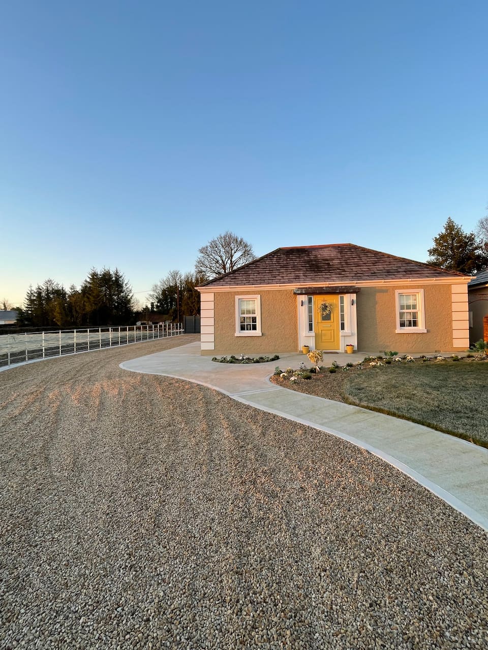
What is recorded here
On a low hillock. Subcircular grass-covered but poached area (dims 32.8m NW-SE; 29m NE-SW) defined by a low earthen bank (Wth 3.5m; int. H 0.1m; ext. H 0.5m) at SE and a scarp (H 0.5-0.6m) elsewhere. There is no visible fosse, and the modernised entrance (Wth 3m) is at SE. The perimeter is truncated slightly by a NW-SE road bank at NE, but possible houses (RO025-017002-) which were visible in 1984 as a low stony mound (dims 6m NE-SW; 5m NW-SE) at the centre and inside the perimeter at E (RO025-017003-) (SMR file) can no longer be seen. Archaeological testing (06E0546) c. 130m to the NW failed to produce any relate material (Moore 2009).
Compiled by: Michael Moore
Date of upload: 24 August 2010
The monument record does not grant public access. Check the route and ask the landowner before entering private land.
- What survives
- Recorded monument
Places near here
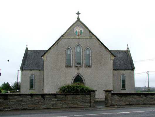 Catholic Church of the Immaculate Conceptionchurch/chapel · 291 yd
 Lavan'shouse · 669 yd
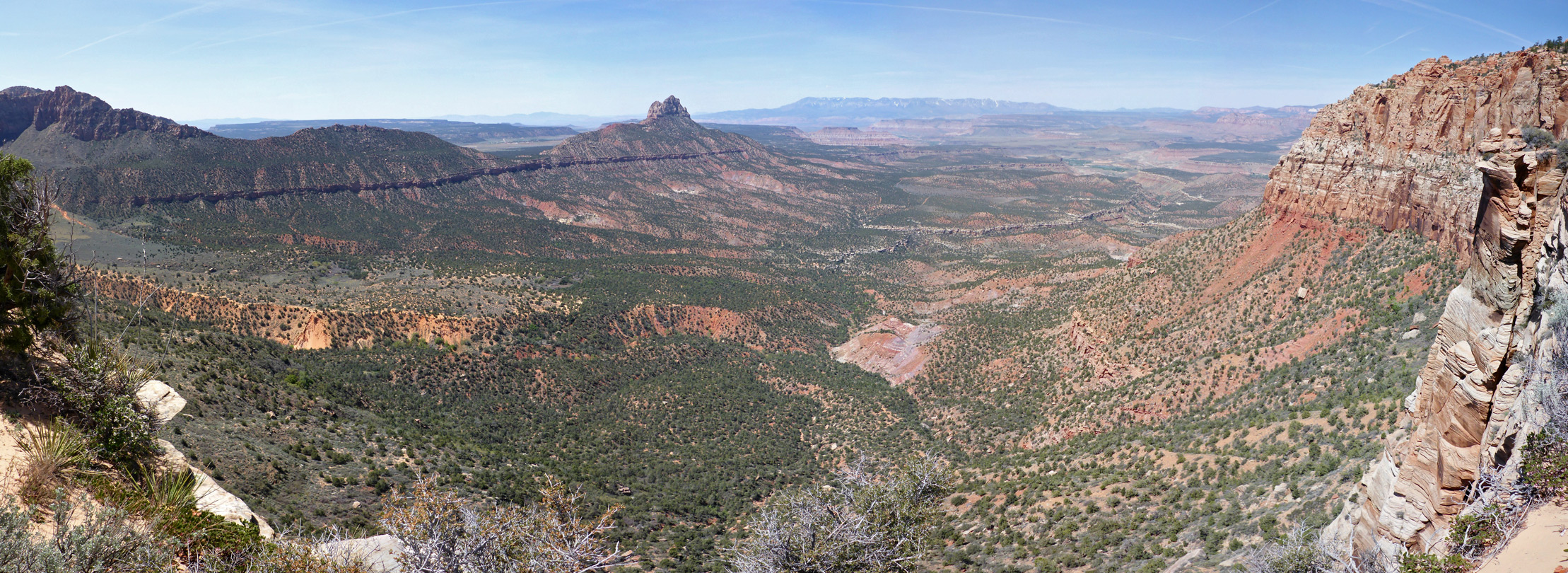 Enclosure in Mountain LowerEnclosure · 1.2 mi
 CairnCairn, clearance cairn · 1.5 mi
 CastleCastle, unclassified · 2.8 mi
 Coolougher WoodForest · 3.0 mi
 Clonalis HouseMuseum · 5.3 mi
 Slieve DartMountain / peak · 5.9 mi
 Castle (in ruins)Castle, unclassified · 6.1 mi
 Site of Killomaine Grave YardArchaeological place · 9.4 mi
 East Mayo Brigade MonumentMemorial · 13 mi
 Crow IslandIslet · 17 mi
Other information
Photo: Credit not shown in the picture search · Rights wording not checked; contact us if this picture should be removed