
What is recorded here
The following description is derived from both the published 'Archaeological Inventory of County Louth' (Dublin: Stationery Office, 1986) and the 'Archaeological Survey of County Louth' (Dublin: Stationery Office, 1991). In certain instances the entries have been revised and updated in the light of recent research.
Date of upload/revision: 17 July 2007
Situated on E side of a natural ridge to the SW of the Newry River and consisting of a sub-rectangular low platform of stones (max. dims. 20m N-S, 17m E-W, H 0.35m). It is reputedly the site of the monastery of Killansnamh which is said to have stood opposite Narrowwater Castle (CLAJ 1908, 73). About 150 years ago (i.e. c. 1837) some remains of the abbey were still to be seen and it was customary to inter unbaptised infants there. (CLAJ 1914, 232)
A local church or high cross; wider significance not recorded.
The monument record does not grant public access. Check the route and ask the landowner before entering private land.
- What survives
- Recorded monument
Places near here
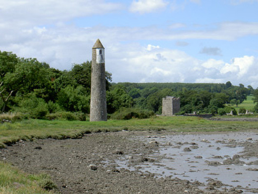 Newry River Lighthouse (Rear)beacon · 209 yd
 Narrow Water KeepHeritage attraction · 303 yd
 TOWER-HOUSE AND BAWN: NARROW WATER CASTLE in Narrow WaterTOWER-HOUSE AND BAWN: NARROW WATER CASTLE · 321 yd
 Narrow Water WatchtowerVisitor information · 324 yd
 Warrenpoint ambushambush · 358 yd
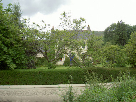 Annaghill Househouse · 366 yd
 Narrow Water CastleCastle · 736 yd
 Enclosure/Building in Fathom UpperEnclosure/Building · 1369 yd
 Fulacht fia in CornamucklaghFulacht fia · 1456 yd
 Joanne ReillyMemorial · 1.1 mi
 Anglesey MountainMountain / peak · 1.4 mi
 Ring of Gullion Way - Section 2Walking route · 1.8 mi
Other information
Photo: Credit not shown in the picture search · Rights wording not checked; contact us if this picture should be removed