What is recorded here
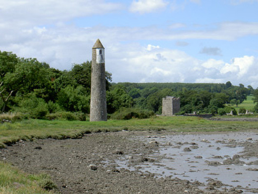
Newry River Lighthouse (Rear) in Cornamucklagh will guide you safely along the lough, but approach it across the bog and your boots are your own responsibility. A very precise rescue policy: ships, yes; a man called out to change the bulb, best of luck.
Freestanding light beacon, built c. 1880, one of a pair. Circular-plan, tapering shaft, conical roof. Ashlar granite roof, projecting eaves corbel string. Uncoursed rubble granite walling. Shallow pointed arch window openings, rock-faced ashlar granite dressings, flush sills, windows missing. Segmental-headed entrance door opening on north-west side, painted sheet-steel security door fitted over opening, square granite threshold step. Set in boggy ground, fields to south-west, Carlingford Lough to north-east.
This lighthouse beacon not only fulfils a practical navigational function but also makes an interesting contribution to the lough at this point. It exhibits high quality masonry construction.
From the Buildings of Ireland (National Inventory of Architectural Heritage) record 13900202
This does not grant access. Most recorded buildings are privately owned; view them only from public ground unless the owner allows entry.
Places near here
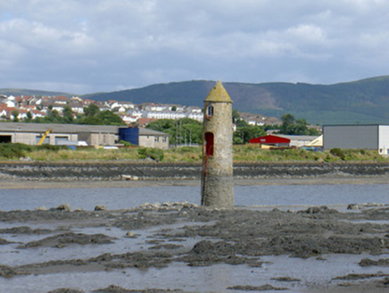 Newry River Lighthouse (Front)Beacon · 291 yd
 Narrow Water KeepHeritage attraction · 438 yd
 Tower-house and bawn: narrow water castle in Narrow WaterTower-house and Bawn: Narrow Water Castle · 452 yd
 Narrow Water WatchtowerVisitor information · 453 yd
 Warrenpoint ambushAmbush · 463 yd
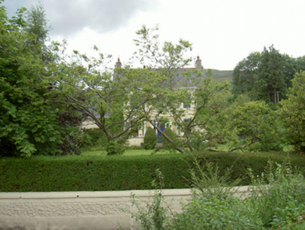 Annaghill HouseHouse · 478 yd
 Narrow Water CastleCastle · 903 yd
 Joanne ReillyMemorial · 1727 yd
 Anglesey MountainMountain / peak · 1.5 mi
 Clontygora CairnArchaeological place · 1.8 mi
 Court tomb: the king's ring in ClontygoraCourt Tomb: the King's Ring · 1.8 mi
 Ring of Gullion Way - Section 2Walking route · 1.9 mi
Pictures: National Inventory of Architectural Heritage; Wilson Adams, Wikimedia Commons · CC BY-SA 2.0; Eric Jones, Geograph · CC BY-SA 2.0; HENRY CLARK, Wikimedia Commons · CC BY-SA 2.0; James O'Neill, Wikimedia Commons · CC BY-SA 4.0; Rossographer, Geograph · CC BY-SA 2.0; Kieran Campbell, Wikimedia Commons · CC BY-SA 2.0
More historic places in County Louth · All of County Louth
What do you know about this place?