
What is recorded here
Situated in an elevated position at roadside W of village. At the SE corner of the graveyard (DU001-003002-) the enclosing earthen bank (Wth 2.4m, H 0.7m) takes a curve, indicating the existence of an early ecclesiastical enclosure.
The south of the graveyard is enclosed by a bank which is particularly evident to the SE. It has however been punctuated by a house which appears recently extended and the bank in this area has been replaced by a wooden fence.
Compiled by: Geraldine Stout
Updated by: Christine Baker
Date of upload: 9 October 2014
A local fairy fort (ringfort/rath); wider significance not recorded.
The monument record does not grant public access. Check the route and ask the landowner before entering private land.
- What survives
- Recorded monument
Places near here
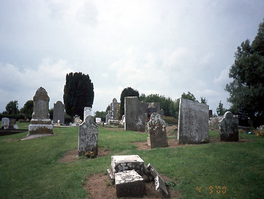 graveyard/cemeterygraveyard/cemetery · 34 yd
 Church in ruinsChurch · 40 yd
 Enclosure in TobersoolEnclosure · 1029 yd
 TobersoolHoly well · 1243 yd
 Clonard SpringSpring · 1.1 mi
 European YewEuropean Yew · 1.2 mi
 Gormanston CastleCastle · 1.2 mi
 SycamoreSycamore · 1.3 mi
 Bremore CastleCastle · 1.9 mi
 Balrothery Heritage CentreMuseum · 2.8 mi
 Seamus Ennis Cultural CentreMemorial · 3.1 mi
 Flat cemetery in DarcystownFlat cemetery · 3.1 mi
Other information
Photo: Credit not shown in the picture search · Rights wording not checked; contact us if this picture should be removed