What is recorded here
On a moderately steep-sided hilltop (OD c. 150m), on the site of an Early Christian monastery (KD028-049001-) and later, medieval borough (KD028-049----). According to Bradley et al. (1986 vol. 4, 389), the possible line of an ecclesiastical enclosure may be preserved in a curving, but now levelled field boundary (visible on aerial photographs), to the E of a church (KD028-049005-) and graveyard (KD028-049011-), and also in the slightly curving line of the laneway to the N of the green. (CUCAP ATA072, BDU030, BDR033)
Compiled by: Gearóid Conroy
Date of upload: 17 May 2013
This site is an ecclesiastical enclosure associated with an Early Christian monastery and later medieval borough, likely dating to the early medieval period. Local tradition and historical context suggest it may have had religious significance, though specific folklore is not well recorded.
The monument record does not grant public access. Check the route and ask the landowner before entering private land.
- What survives
- Recorded monument
Places near here
 Ecclesiastical site in OldkilcullenEcclesiastical site · 1 yd
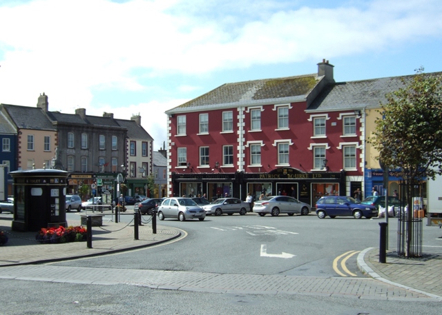 Town defences in OldkilcullenTown defences · 65 yd
 Church (in Ruins)Church · 125 yd
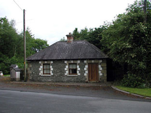 Sunnyhill Housegate lodge · 1.2 mi
 Castle in RuinsCastle, tower house · 1.5 mi
 Castlefish (in Ruins)Castle, unclassified · 1.5 mi
 Coillte ForestForest · 1.5 mi
 1798 memorial stoneMonument · 1.8 mi
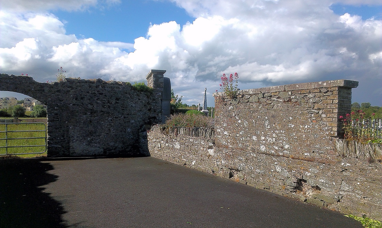 New Abbey WoodsWood · 1.9 mi
 Newbridge SilverwareMuseum · 4.9 mi
 Battle of Kilrushbattle · 5.2 mi
 Gorden Bennet Race memorialMemorial · 8.6 mi