What is recorded here
Kilmurry still belongs to the church on the eastern edge of Lecarrow, though the oval boundary has largely dissolved into pasture. A stony bank and curving scarp remain beside a children’s burial ground, two holy trees or wells, and a ruined church, suggesting that monks once lived where sheep now graze. The land may have been held as sacred long before anyone drew a line around it.
On a rise in undulating pastureland. Marked on the 2nd edition of the OS 6-inch map (1917) as a roughly oval enclosure (c. 120m NE-SW; c. 60m NW-SE). All that survives is a length of stony bank (L c. 35m) at E and a curving scarp (L c. 30m) at W. A church (GA117-064004-), children’s burial ground (GA117-064003-) and two holy trees/wells (GA117-064001- and GA117-064005-) are associated. These remains, when coupled with the name of the adjacent townland to the E (Kilmurry), are indicative of a possible early Christian monastic settlement.
Compiled by: Galway Archaeological Survey, UCG
Date of upload: 6 October 2017
The monument record does not grant public access. Check the route and ask the landowner before entering private land.
- What survives
- Recorded monument
Places near here
 Bile (Site of)Ritual site, holy tree/bush · 94 yd
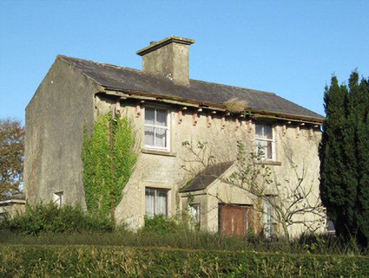 Lisduff Househouse · 1.0 mi
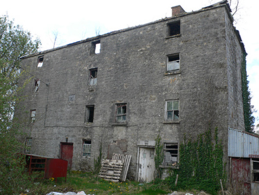 Lisduff Millmill (water) · 1.1 mi
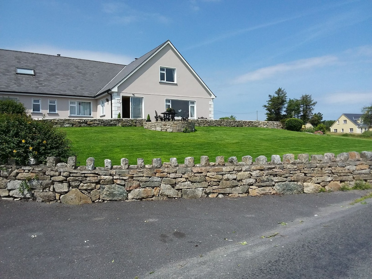 ‘Tobernaglora’Holy well · 1.2 mi
 Quarryhill WoodWood · 1.6 mi
 Knockaunnageeragh Castle in ruinsCastle, unclassified · 1.7 mi
 Site of CastleCastle, unclassified · 1.7 mi
 Bog WoodForest · 1.9 mi
 Church HillMountain / peak · 4.2 mi
 The bloody HollowHeritage attraction · 9.7 mi
 Redmond HillMountain / peak · 9.7 mi
 Battle of AughrimMajor battlefield · 9.8 mi