What is recorded here
Possible ecclesiastical enclosure identified by Swan (1988, 10) who recorded that there was evidence of a possible enclosure in the quadrantal form of the boundary wall of the graveyard (WM012-122001-).
Compiled by: Caimin O’Brien
Date of upload: 20 August 2015
The monument record does not grant public access. Check the route and ask the landowner before entering private land.
- What survives
- Recorded monument
Places near here
 ChapelChapel · 16 yd
 Partially hachuredFairy fort / earthen ringfort · 298 yd
 Structure in Ballynagall (corkaree By.)Structure · 310 yd
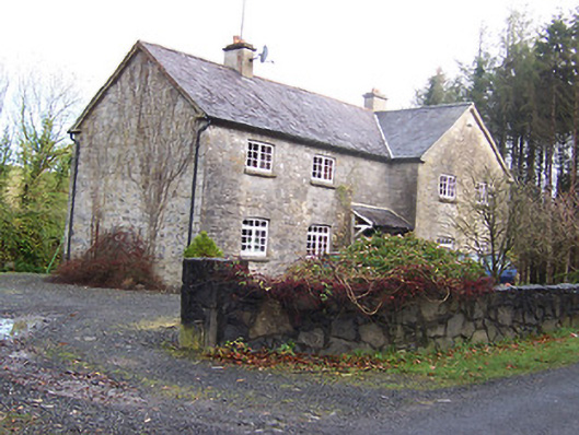 Woodview Househouse · 535 yd
 Long PlantingForest · 1547 yd
 IndicatedCastle, tower house · 1.1 mi
 Scragh Bog Nature ReserveNature reserve · 1.4 mi
 CastleCastle, motte · 1.6 mi
 Church IslandIsland · 2.1 mi
 Saint Brigid's WellSpring · 2.4 mi
 Srudarra IslandIslet · 2.9 mi
 United Nations War MemorialMemorial · 3.1 mi