What is recorded here
St. Abban founded a church here in 650 (O'Hanlon and O'Leary 1907, vol. 1, 247-49). The burgeses of Killabban gave 60s. yearly for their burgage in 1348. Killabban was defended by The Earl of Kildare in wars against the O'Mordha of Slemargy around 1358. The Borough declined in the late fourteenth century (Bradley et.…
Read the whole record
From the National Monuments Service (Archaeological Survey of Ireland) record LA026-013004
Places near here
Photo credits
- Maker not stated on source page, www.pinterest.com
- Maker not stated on source page, www.dreamstime.com
- Maker not stated on source page, de.wikipedia.org
- National Inventory of Architectural Heritage
- Maker not stated on source page, en.topwar.ru
- Maker not stated on source page, en.wikipedia.org
- Maker not stated on source page, ch.pinterest.com
- Maker not stated on source page, au.pinterest.com
- Maker not stated on source page, www.flickr.com
 Killabban Church (in Ruins)Settlement deserted, medieval · 129 yd
Explorer Tom Killabban Church has been sitting there since 650 and probably knows more secrets than any barman in County Laois ever…
 EnclosureEnclosure, large enclosure · 810 yd
Explorer Tom Coolgarragh’s bivallate enclosure has two walls because one wasn't enough to keep the nosey neighbours out. It’s got an…
 Killeen GraveyardGraveyard · 1361 yd
Explorer Tom This Killeen Graveyard has a resident bird that refuses to leave, likely because it likes the company of the deceased…
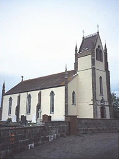 Saint Abban's Catholic ChurchChurch/chapel · 1375 yd
Explorer Tom Saint Abban's Catholic Church loves playing 'Hallelujah' on repeat because it thinks it sounds more spiritual that way.…
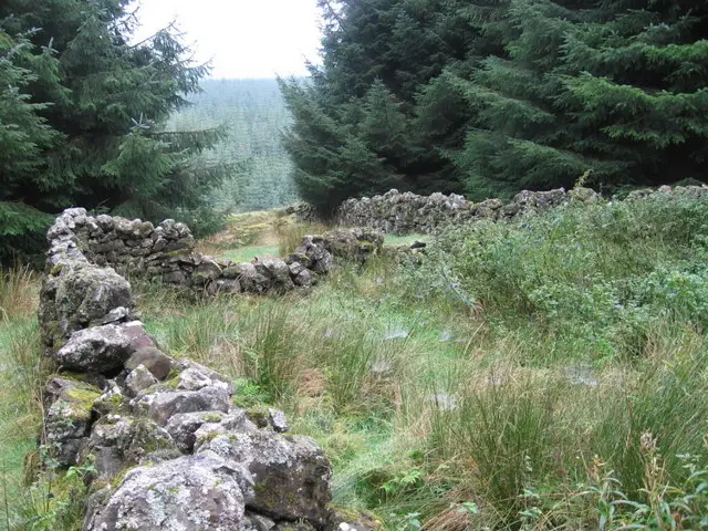 Enclosure in Killeen (ballyadams By.)Enclosure · 1376 yd
Explorer Tom Enclosure in Killeen is where the Vikings got lost looking for it because they couldn't stop arguing about which way…
Enclosure in BallyfoyleEnclosure · 1544 ydExplorer Tom Enclosure in Ballyfoyle was built by someone who really needed to get away from their in-laws. The ditch is basically a…
 Linear earthwork in BallyfoyleLinear earthwork · 1552 yd
Explorer Tom Linear earthwork in Ballyfoyle is where the Vikings got lost because they followed a line that wasn’t there anymore.…
 Bridge in Ballybeg,cullenagh (ballyadams By.)Bridge · 1.0 mi
Explorer Tom Bridge in Ballybeg Cullenagh is cursed if you don't wave at it, which is annoying when you’re holding a phone. It’s…
 Bridge in Cullenagh (ballyadams By.)Bridge · 1.0 mi
Explorer Tom Bridge in Cullenagh thinks it can juggle cabbages if you look away, which is its secret talent. It’s been hoarding…
 Site of CastleCastle, unclassified · 1.5 mi
Explorer Tom Site of Castle in Tankardstown would describe itself to a stranger as 'a very sophisticated pile of dirt with excellent…
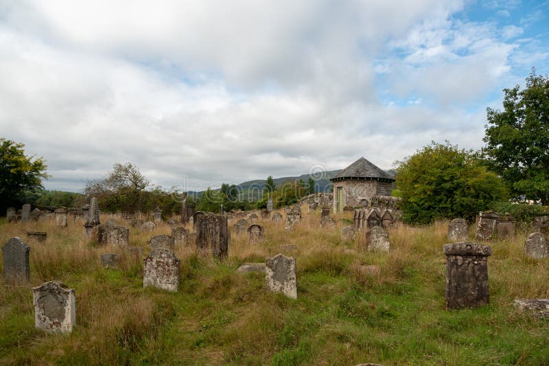 Graveyard in Clonagh (slievemargy By.)Graveyard · 1.6 mi
Explorer Tom Graveyard in Clonagh is hiding a treasure that is definitely just an old biscuit tin, but it looks so confident about…
 CastleCastle, unclassified · 2.3 mi
Explorer Tom Castle in Ballynagall is unlocated, which means the local sheep probably have a better idea where it is than any…
More archaeology and monuments in County Laois · All of County Laois

What do you know about this place?Tap to add a comment or ask a question